We were blessed with good weather for this hike. The sun shining and blue skies were a nice contrast from the often cold and damp conditions on Dartmoor.
We started near Okehampton, with a single goal to trek up to the highest points in the National Park. In keeping with theme of our previous hike, we made the rest of the route up on way.
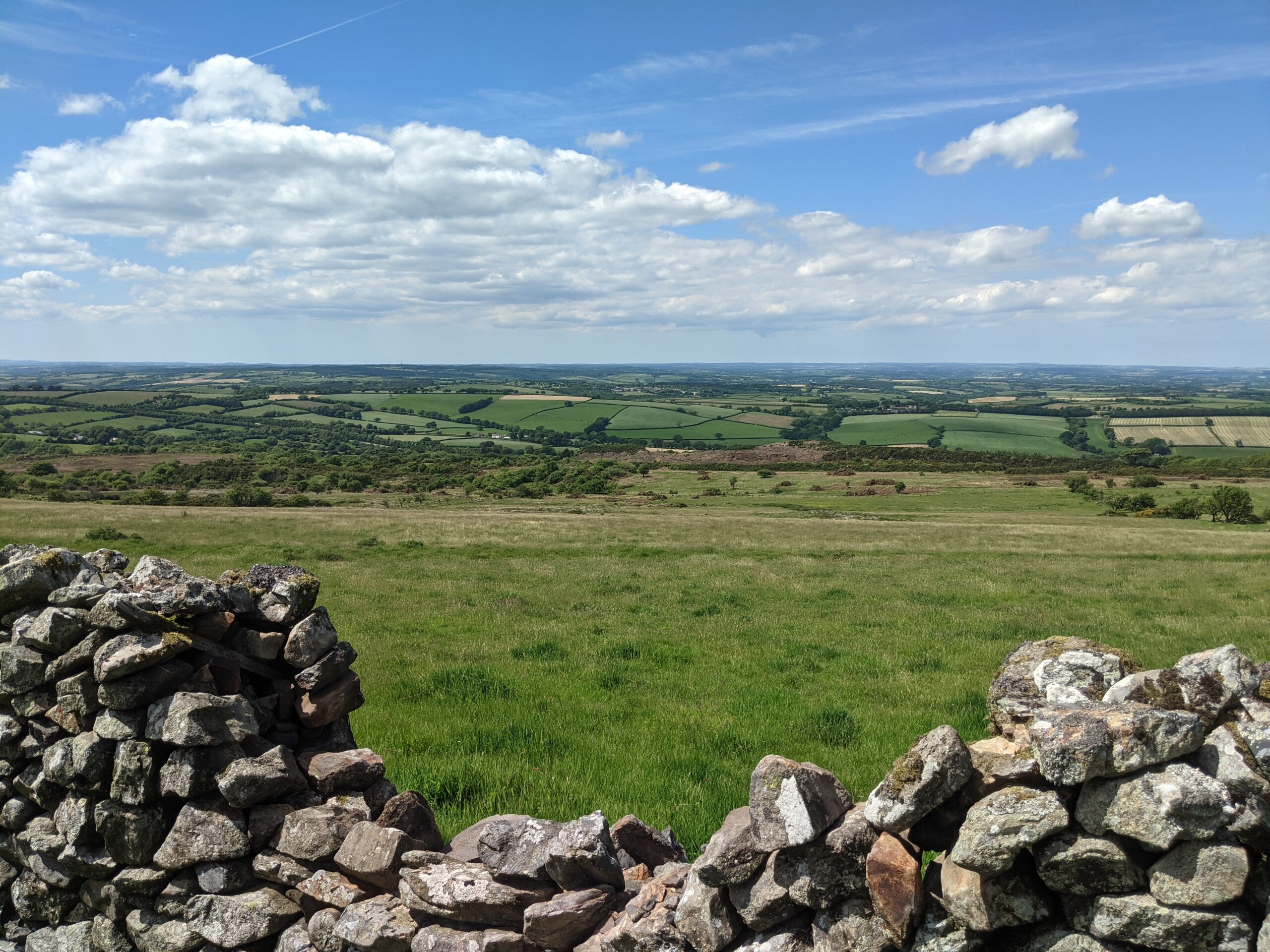
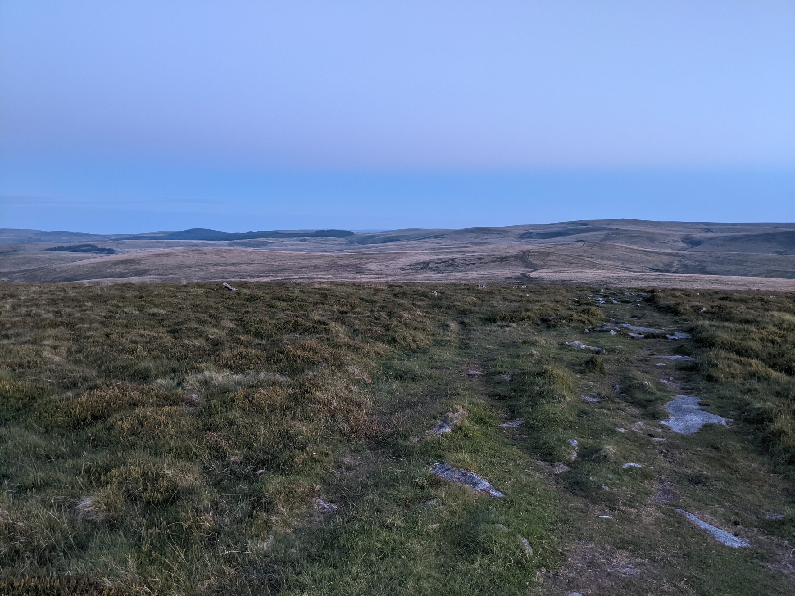
We started with a steady incline up to what I would call the ‘proper’ moors, where I feel I am off farmland, and onto wilder ground. We then traipsed along a path that ran alongside a dry-stone wall to the right, with green hills to the left, enjoying the sun shining down on us. On this clear day, the view stretched far to the north over the flat, green fields.
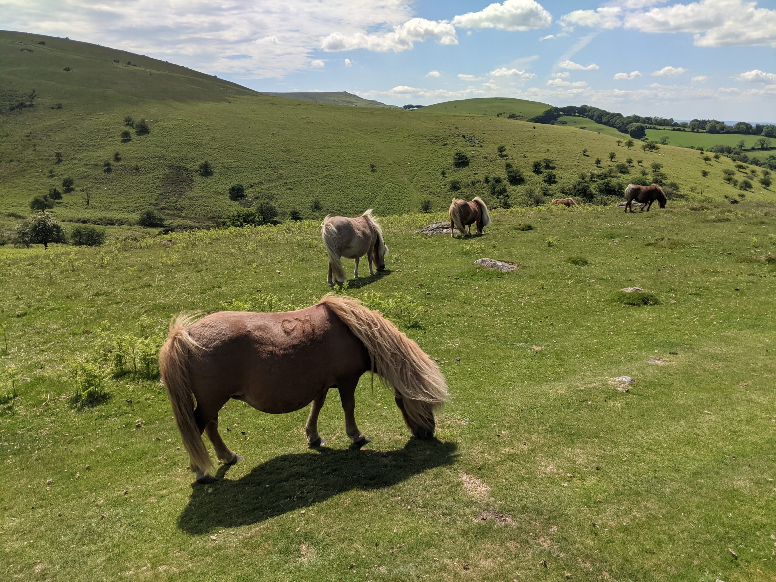
Wild ponies
View over the wall
We were heading towards Meldon Reservoir, and the path climbed slightly, when we met a string of ponies – including a miniature one. Although it’s advisable to keep your distance from wild animals, even cute ones, these seemed at ease with our presence on the trail – and we hiked past quietly a few metres away.
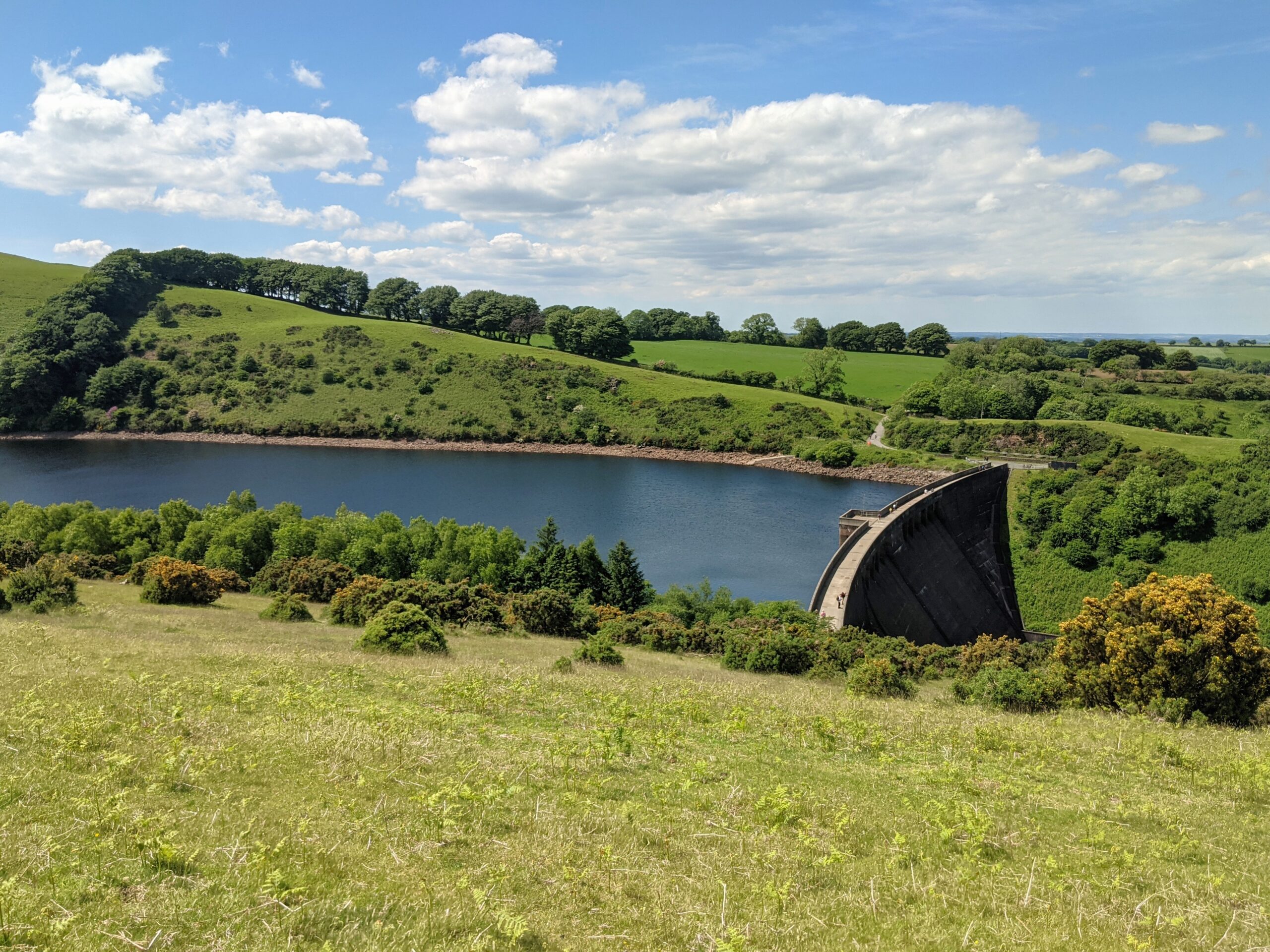
Over a gentle hill, the path headed down – and uncovered the sight of Meldon. It is a large body of water, between two hills, with the structure at the forefront built impressively into the landscape. The combination of the bright blue sky with a few light clouds, over the deep blue of the reservoir against a backdrop of green, made this a stunning vantage point.
Approaching the reservoir
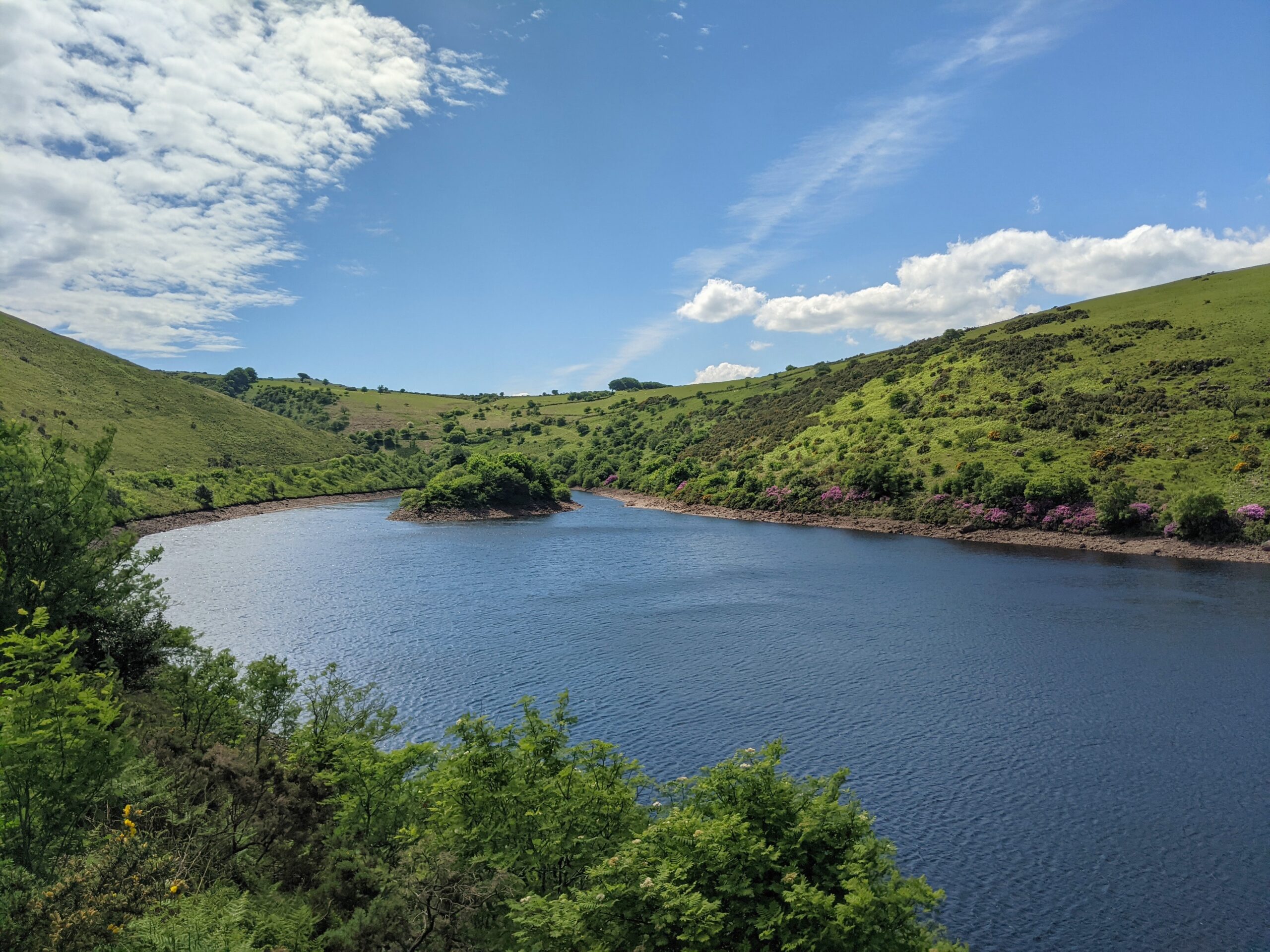
Walking on the water's edge
The trail passes by the water’s edge, which we followed to its end, before we took the path south. We then passed by a field of cows – again, indifferent to our existence – before we started a steady ascent. It was deceptively steep, and it continued upwards for longer than I expected. The trail was on an incline for around a mile, climbing over 300 metres in the process, making it demanding on the legs.
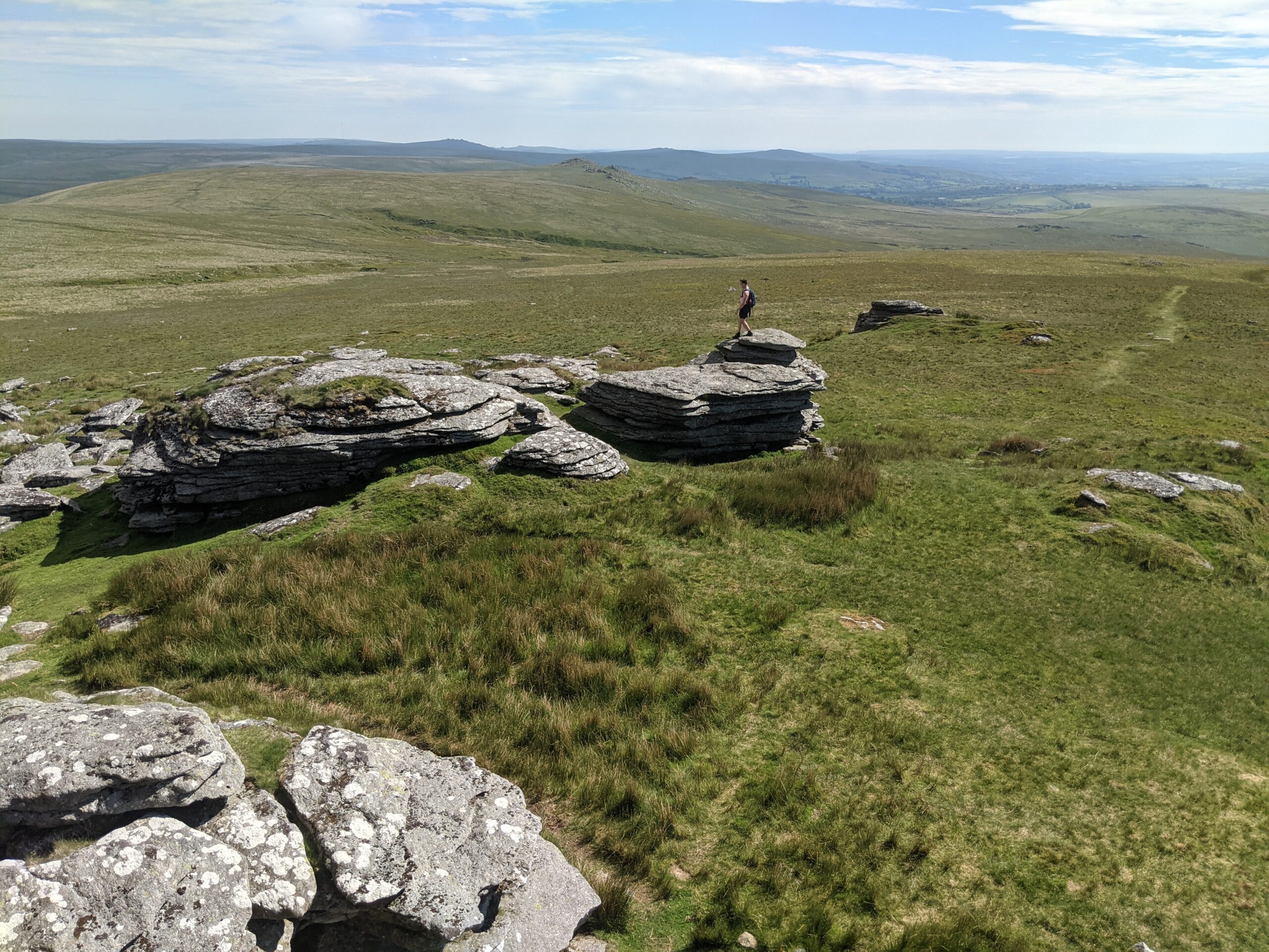
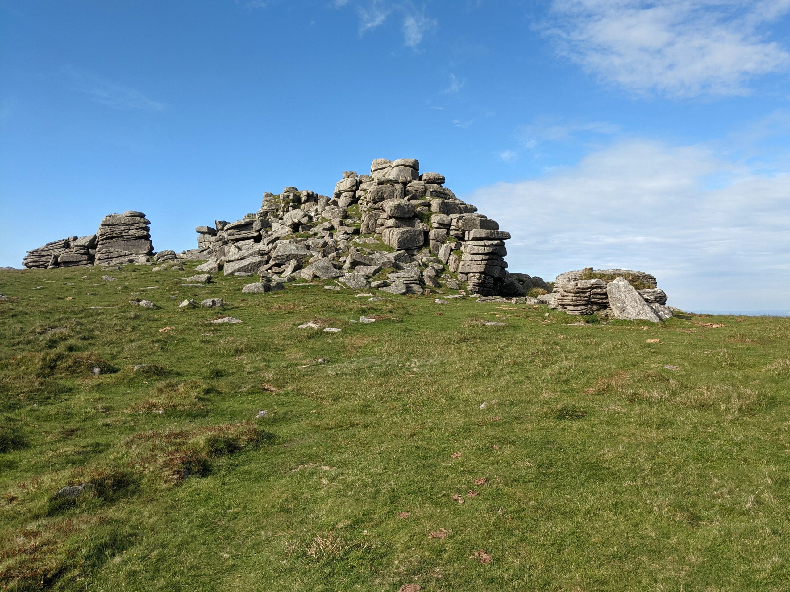
We had reached the five-mile mark, and in the warm summer’s sun, I could start to feel the exertions. As a reward for reaching the top, we were treated to extensive views – the moorland and greenery continued as far as my eye could see. We then ambled across to Great Links Tor, that rises high over the low-lying ground below.
The view from the tor
Approaching Great Links Tor
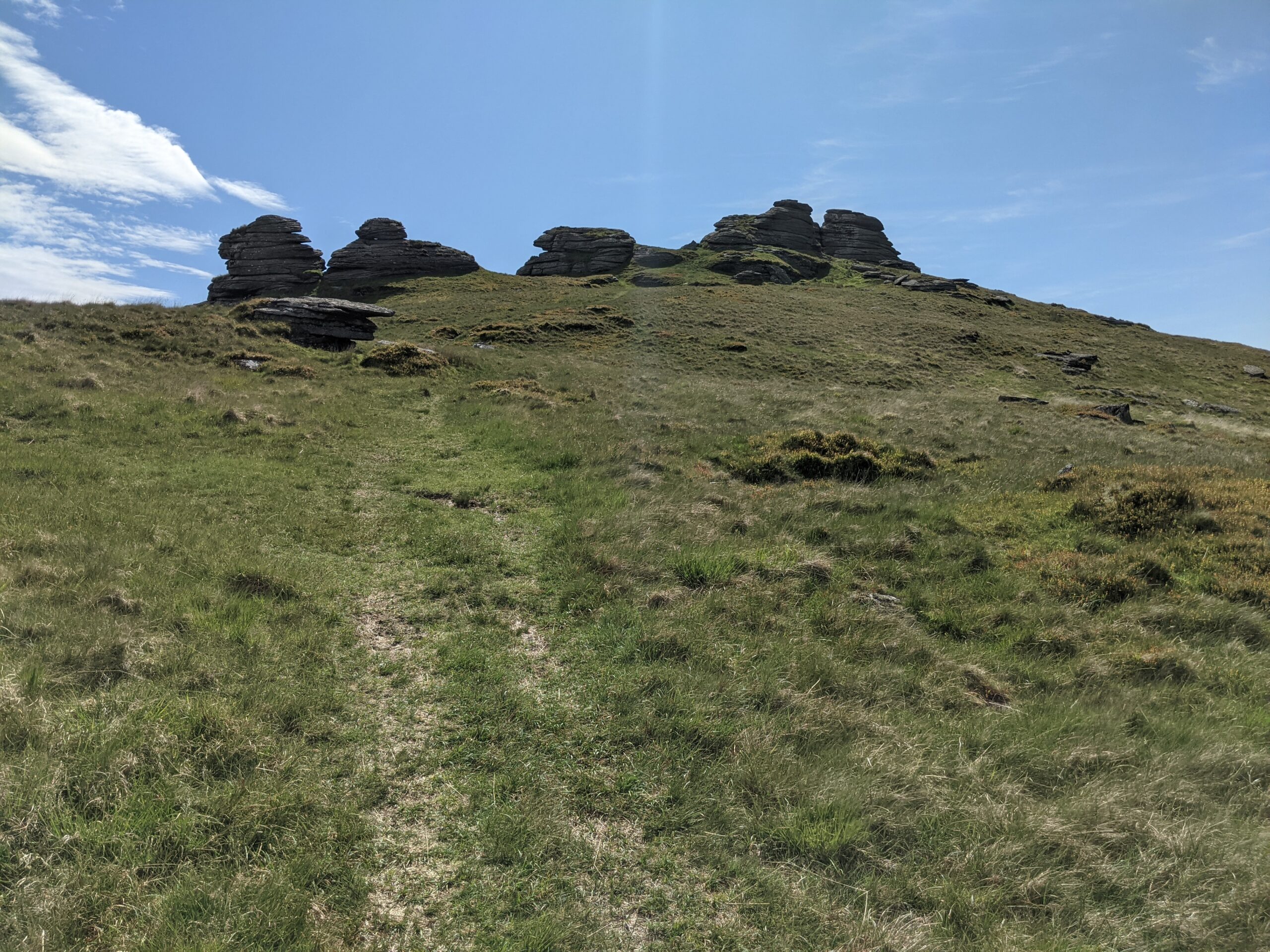
Even in good conditions, the wind is strong at the peaks. The granite structures provide good protection to rest, rehydrate, and have a snack. After a short break, we turned back almost 360 degrees, to head north again. We passed Kitty Tor, which stands at a similar elevation. Then, the path dipped down significantly.
Declines are usually easier, with the help of gravity. But its always important to watch your step – here, the ground was bumpy and uneven, and it took concentration and focus to navigate without falling.
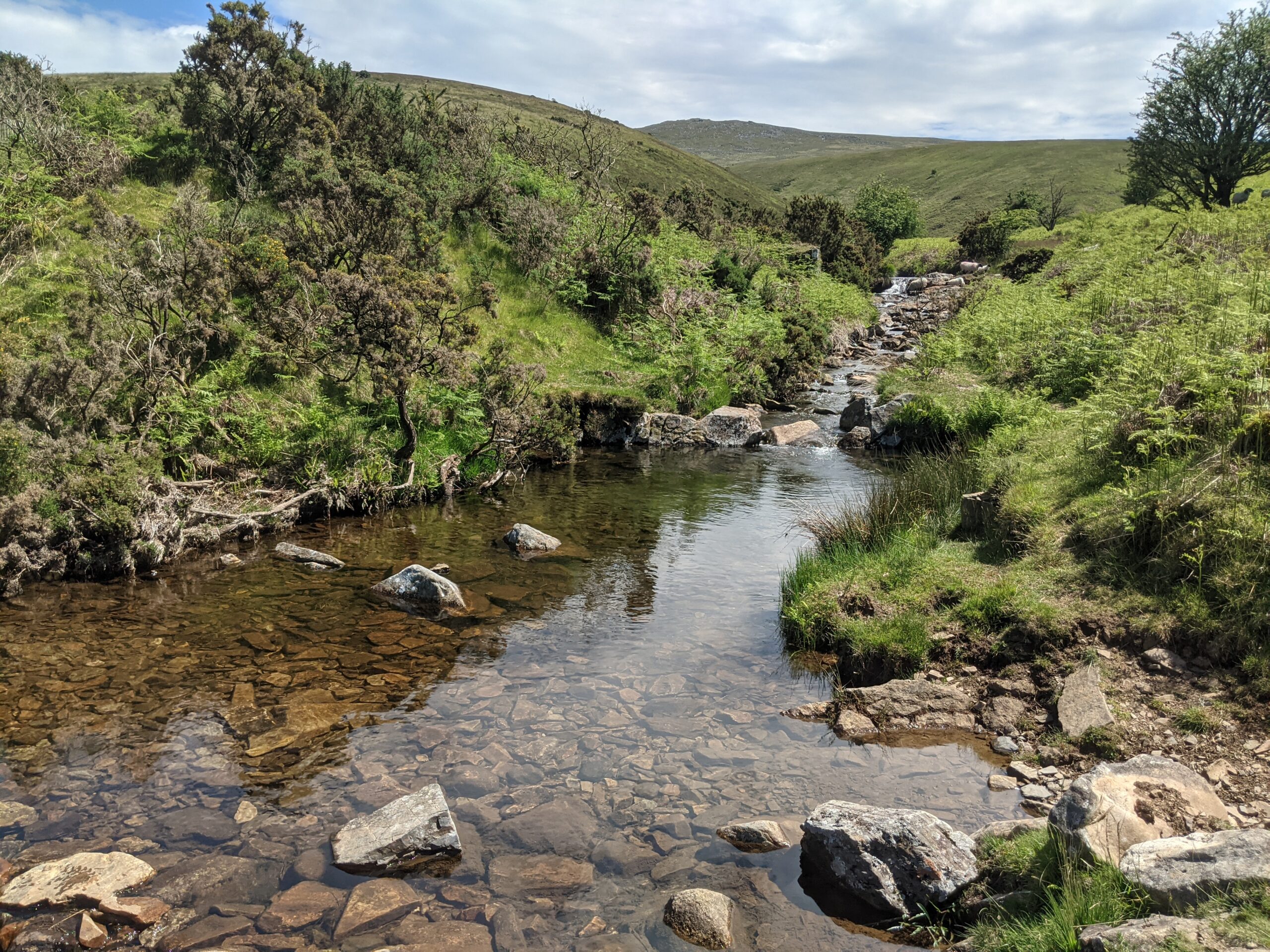
At the bottom of the valley, we found another of the many waterways on Dartmoor – West Okement River. It wasn’t very wide, but we had strayed from the trail, and there was no ready-made crossing point. It was a decent jump across, but we both managed it. If you do come across a river that’s too wide to cross, it’s likely not far to the nearest crossing point, so have a look around rather than take an unnecessary risk.
Another water way to manoeuvre across
Unfortunately, as on most hikes, what goes down must come up. After the river, it was a hard slog up the next hillside. I was beginning to tire from the miles done – around eight – as well as the inclines scaled. Knowing we were only around halfway didn’t help me, either.
In my advancing years, I have been bothered by a couple of niggling injuries, most likely from my days of playing football. While they don’t prevent me from hiking, they do slow me down, especially on long hikes. Meanwhile, my hiking partner for the day, my twin, has become an avid hiker in recent years and powers on at a speed I usually struggle with. Pride, or stubbornness, keeps me going – and suffer after.
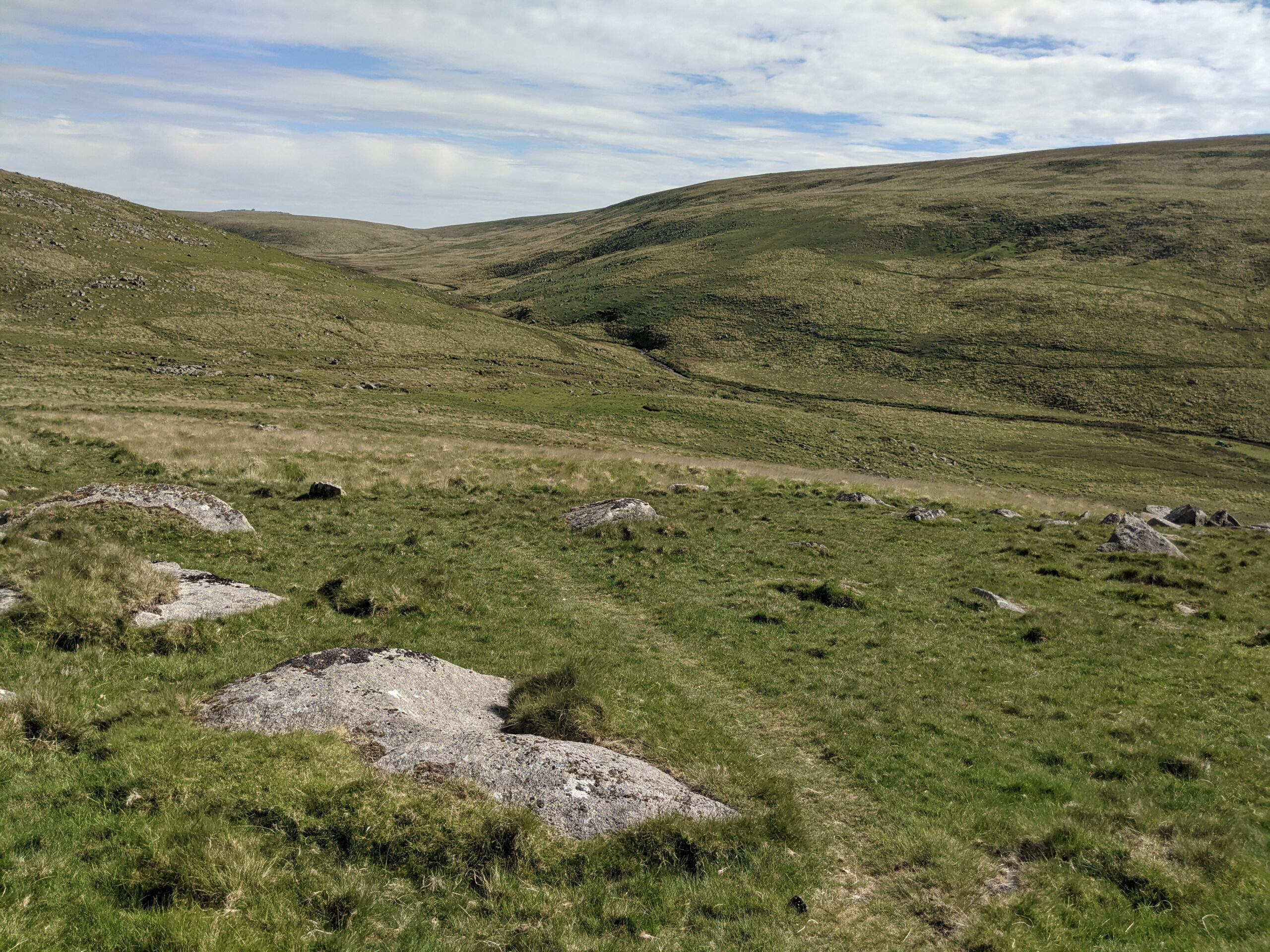
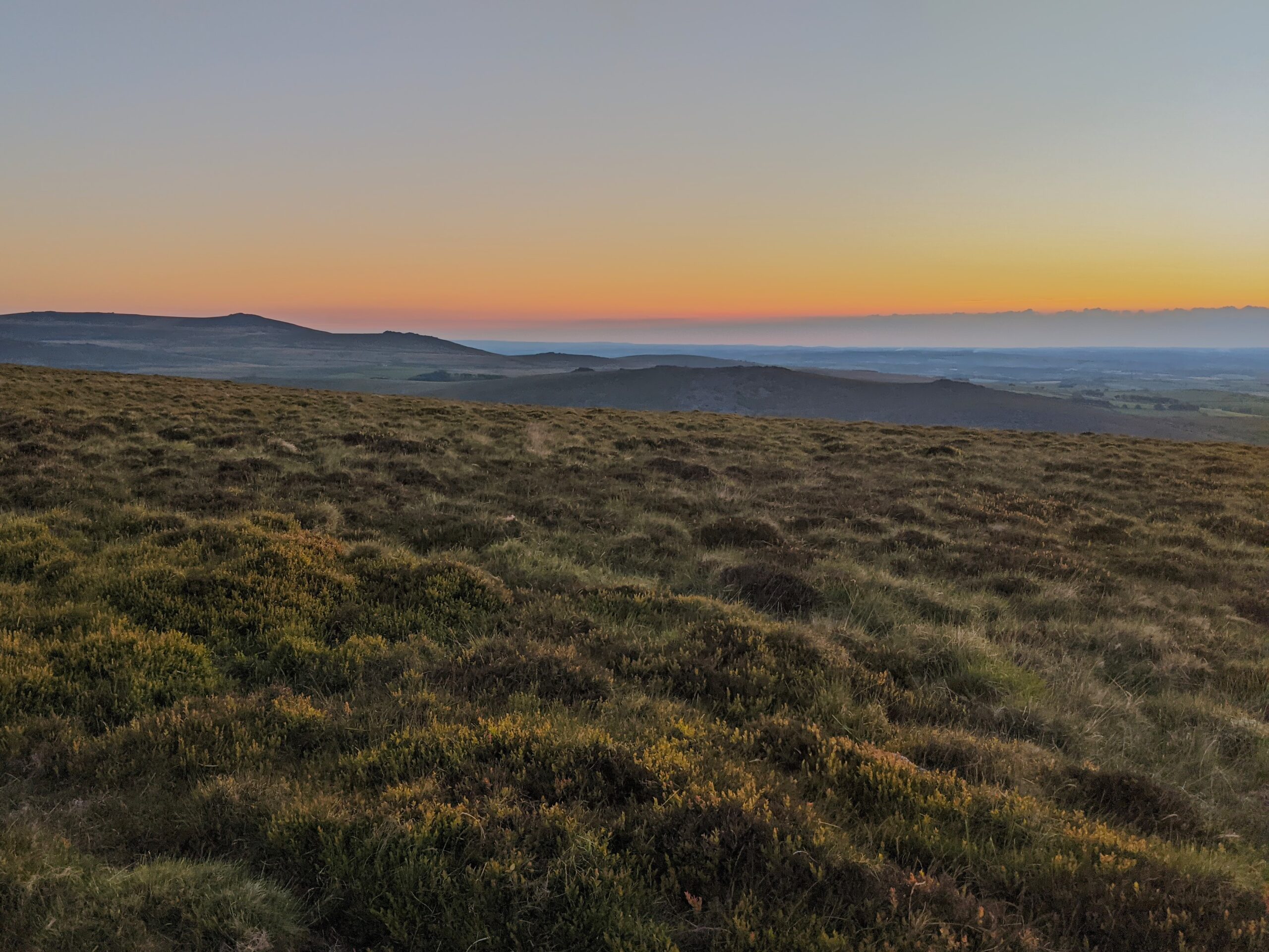
We were heading towards the highest points on Dartmoor, and there was a great view back to the valley we had ventured up from, as the river flowed between two steep hills. We were walking on a wide ridge, elevated above the surrounding moors. And then, at the top, the views from High Willhays and Yes Tor were some of the best I have seen here.
Looking back over the valley
Another climb
High Willhays
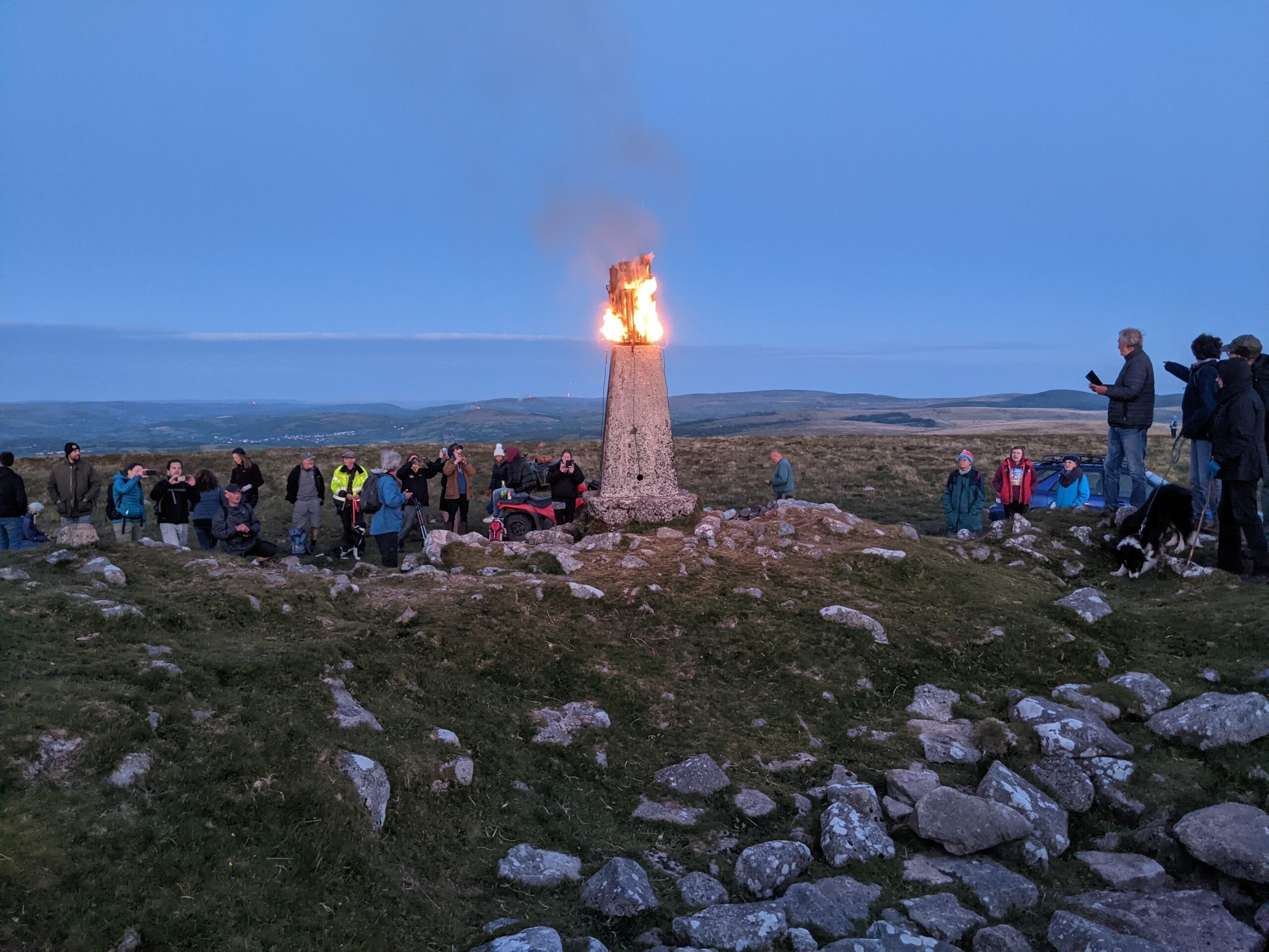
Fortunately, the final four to five miles were mostly downhill, ending near Belstone. The total walking time was five and a half hours, and we completed over 16 miles. If that wasn’t enough, later that evening, we hiked up to Cosden for the lighting of the bacon – on the Queen’s Jubilee weekend. I definitely felt it the next day.
This was a demanding hike because of the distance covered and inclines involved. And the heat added to the overall fatigue. We were lucky to have experienced Dartmoor in fine summer weather, though, largely for the views it delivered. As it happened, another hike a couple of days later was in much worse conditions – and the sun was sorely missed.