Road trip: the South Island of New Zealand Part six
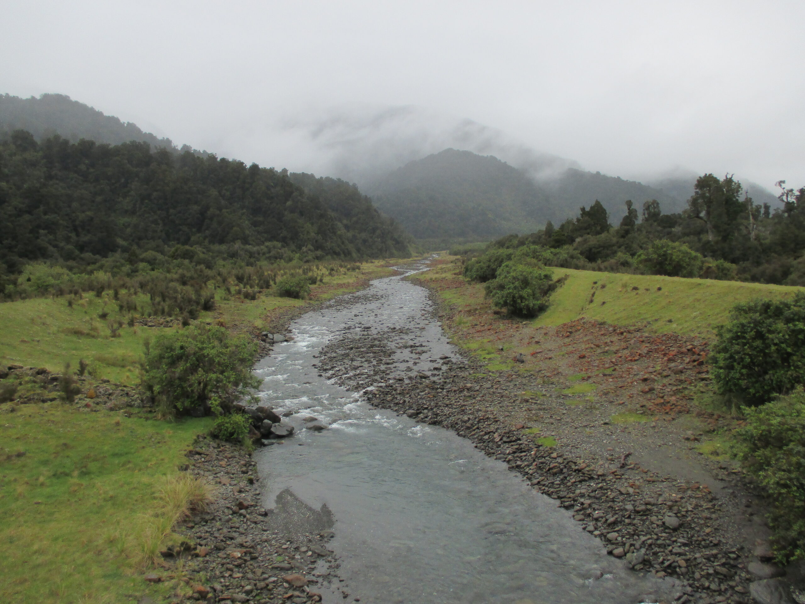
The only highway heading up the west coast of the South Island is north of Wanaka, towards Harst. The climate on this coast is infamous for rain. And that’s exactly what I experienced there. But I strongly believe that a trip can and should be enjoyed even in challenging weather (except, perhaps, in extreme circumstances). Rain and cloud can disrupt itineraries; it can limit activities available and obstruct the views on offer. However, preparing for rain, and being flexible with plans, means you can still get out and about.
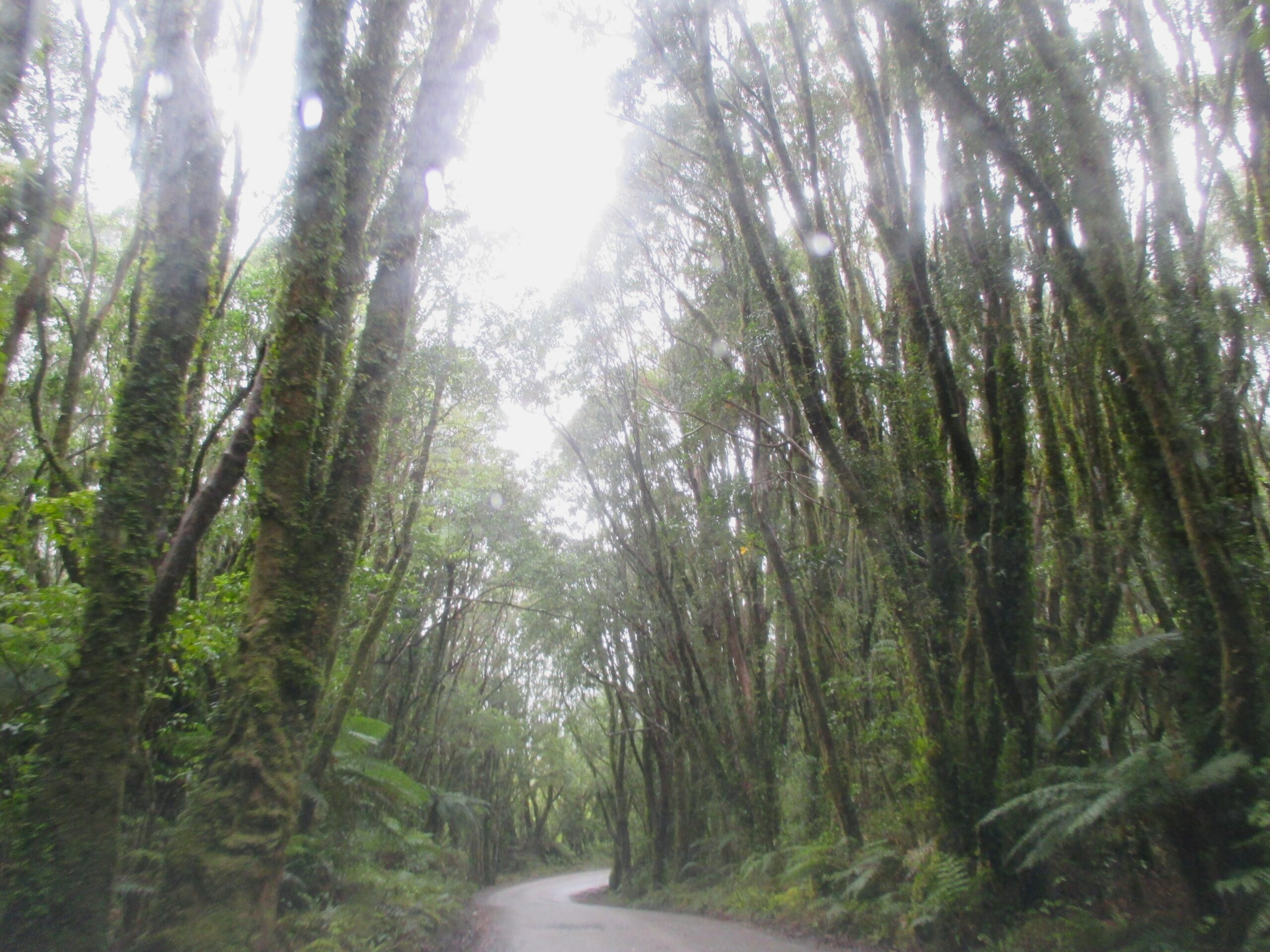
The weather had been mostly clear on this road trip; this interruption wasn’t going to stop my enjoyment of it. I felt the cloudy weather and intermittent rain created a mystic atmosphere, especially when driving under giant trees, and by deserted beaches, as visibility was murky through the low-lying mist.
The mist
Driving under the trees
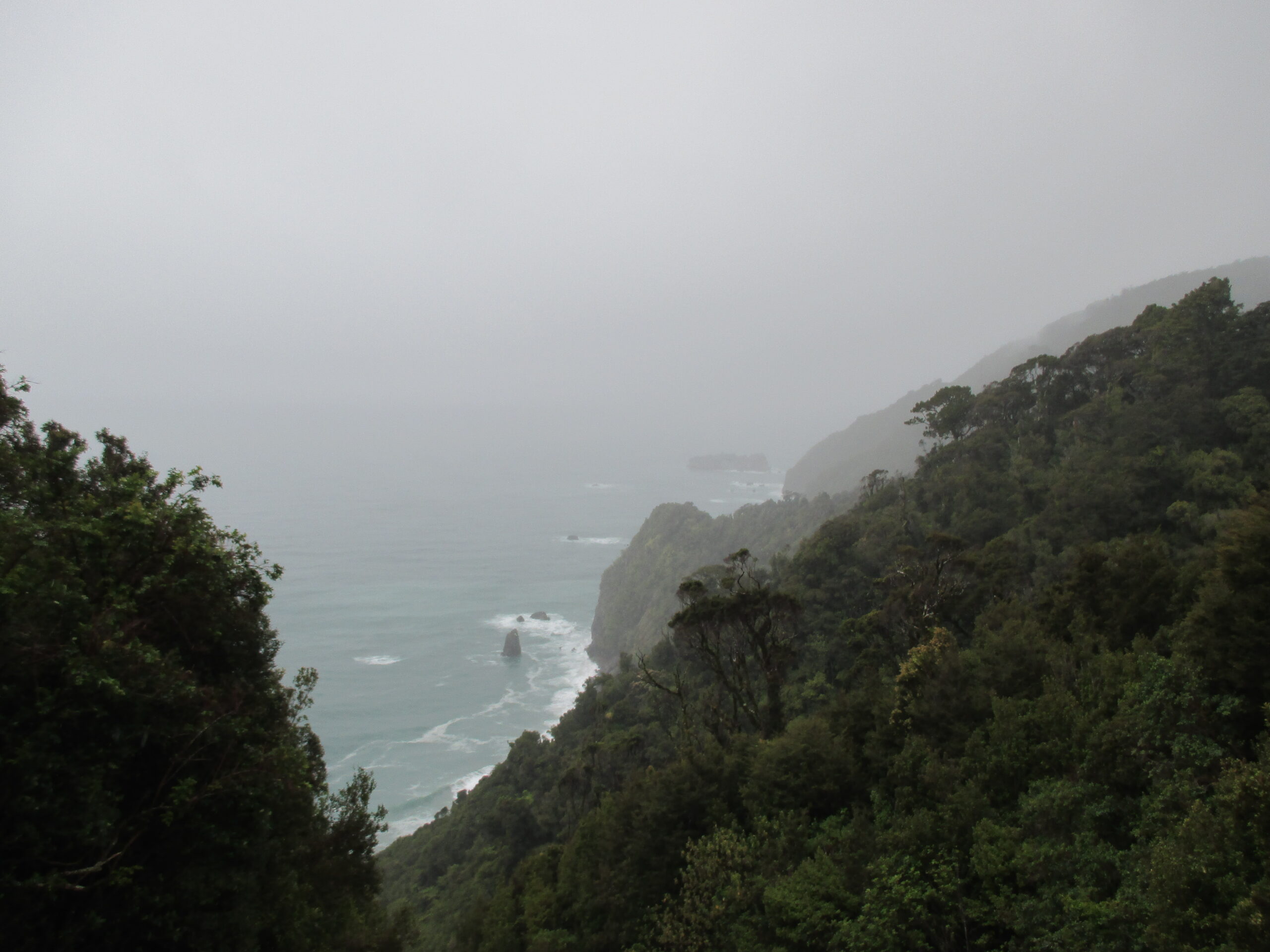
The West Coast
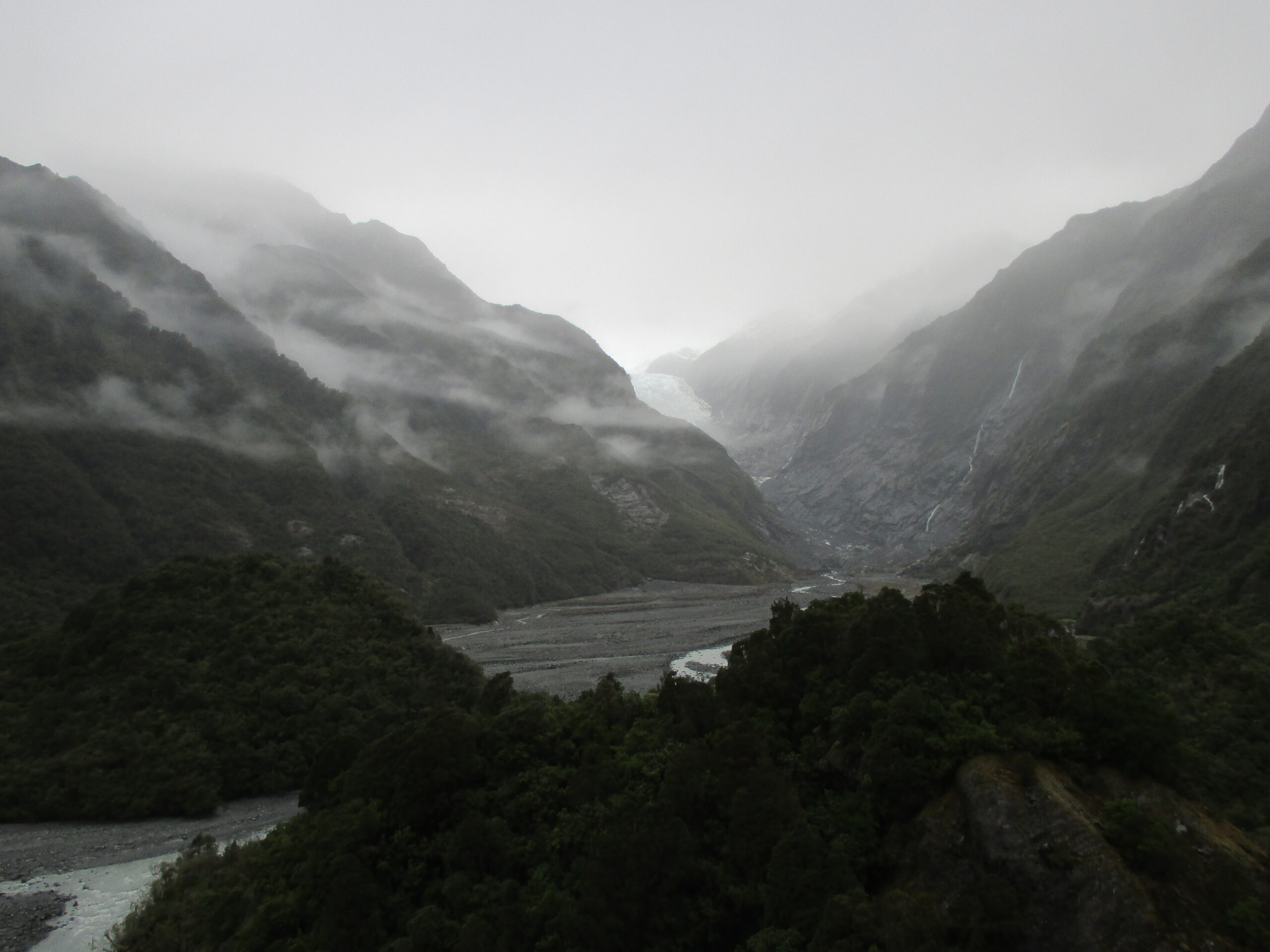
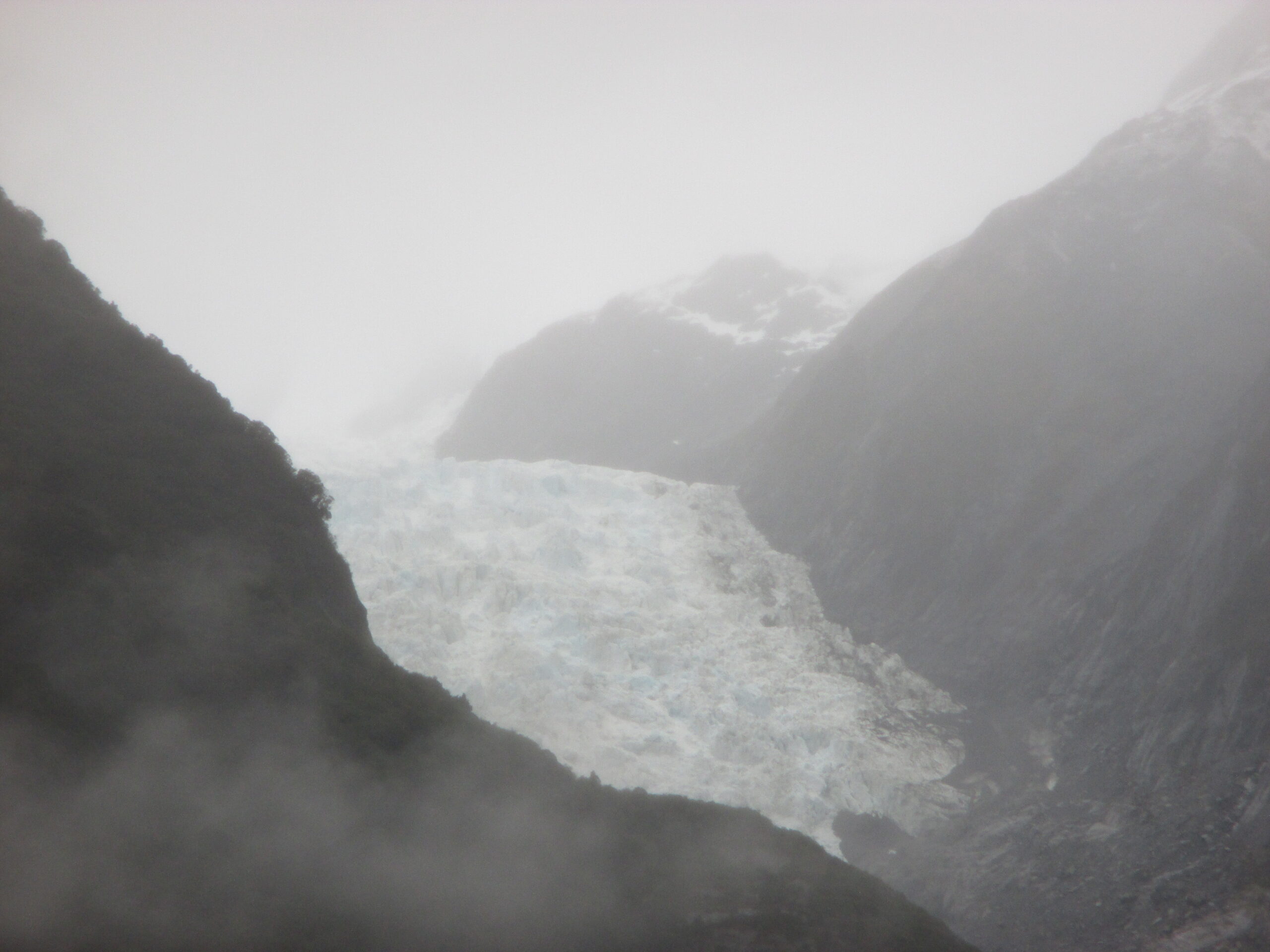
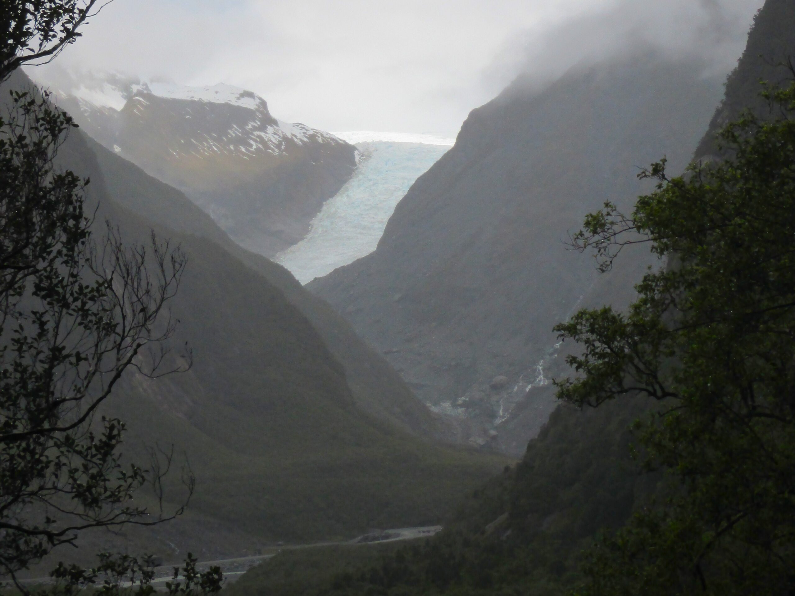
On the west coast, two of the most popular destinations are the glaciers – Fox and Franz Josef. They are found on the northwestern side of Aoraki National Park, amongst impressive mountain ranges. I stopped at both and walked the trails from the car parks to viewpoints, for a closer sighting of each glacier. These reveal the giant, but diminishing, sheets of ice emerging from the slopes, that recede away into the mountains. You can pay for guided tours to get up closer to them, too.
Skydiving is a renowned, if expensive, pursuit in the glacial region. Although I didn’t do it due to budgetary restrictions, on a clear day, a skydive here would promise to deliver a great view. Out of the ‘thrill-seekers’ activities’, skydiving appeals far more than bungee jumping – which is also available in many places in New Zealand. I see Bungee jumping as providing a pure adrenaline rush, likely caused by the fear of impending death – and I don’t need that in my life. Other activities available include white water rafting and speedboat rides.
The valley by Franz Josef Glacier
A closer view
On the trail
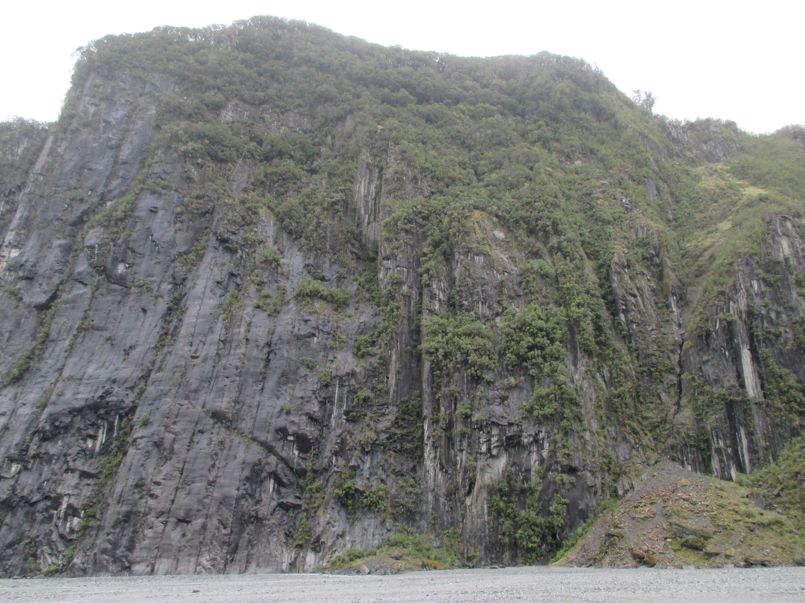
Fox Glacier
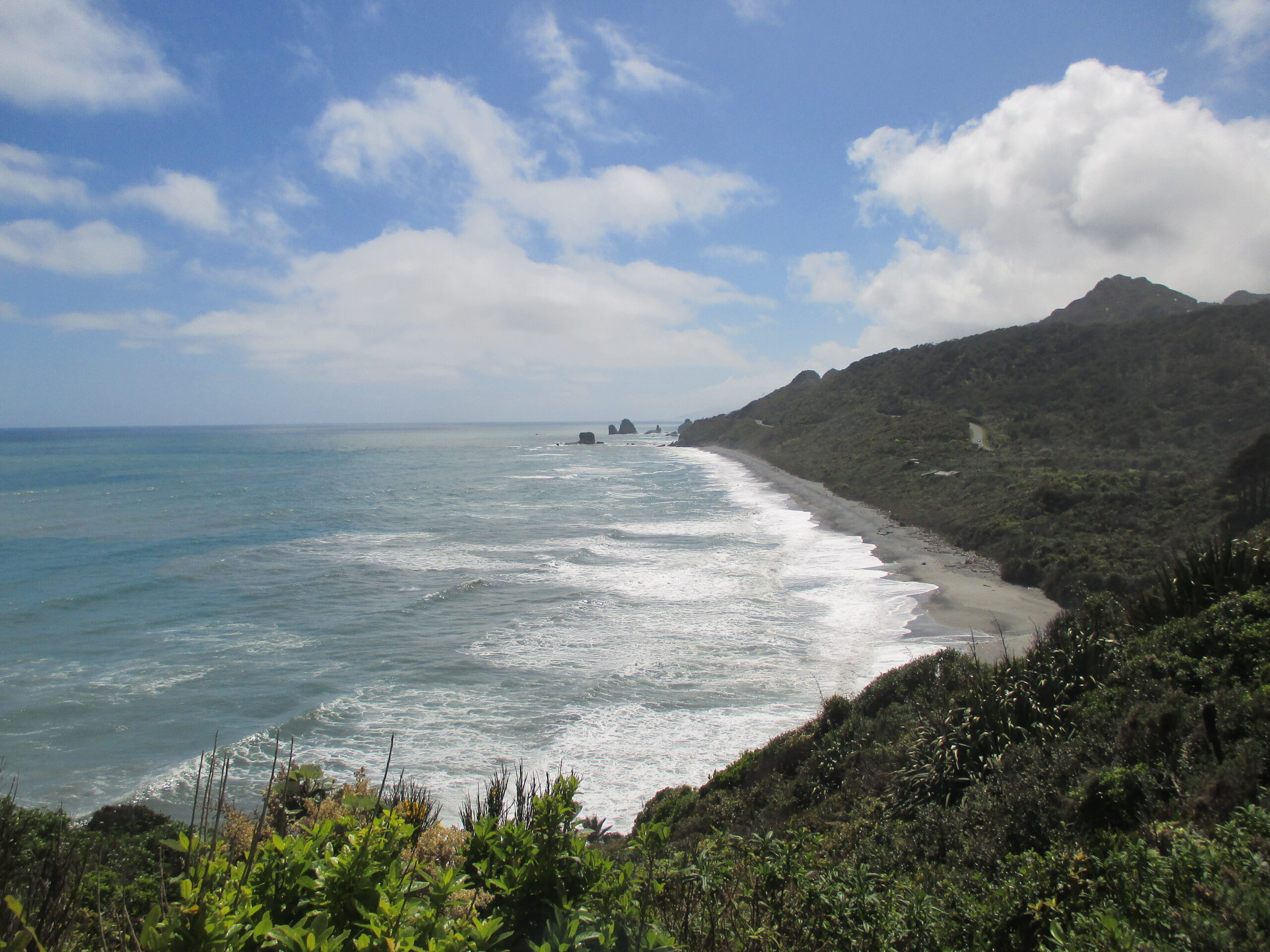
The road continues along the coast passing the small towns of Ruatapu, Hokitika, Greymouth, Punakaiki, and Westport. The scenery is less dramatic but pleasing all the same. I passed through the area relatively quickly, so I can’t it justice, but there is no short of activities around here as well, including: surfing, or windsurfing, hang gliding, kayaking, hiking, tree-top walks, and more wildlife-watching.
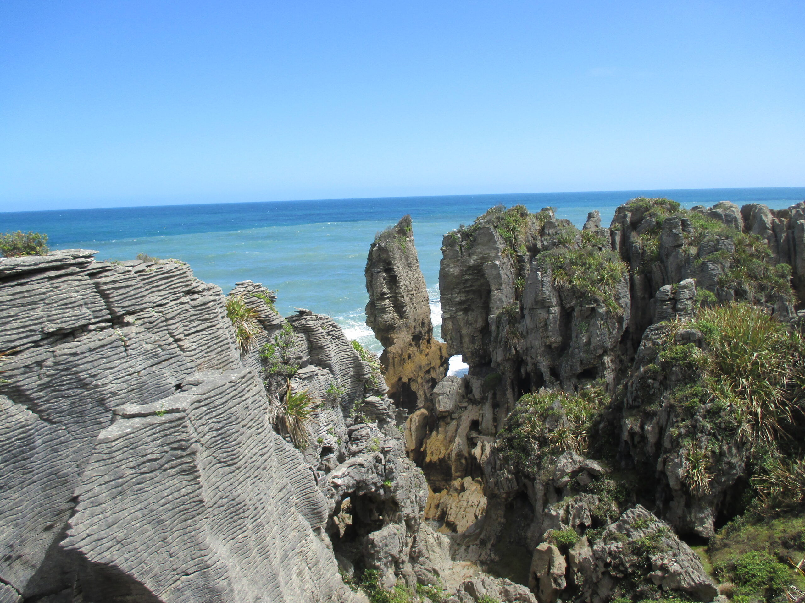
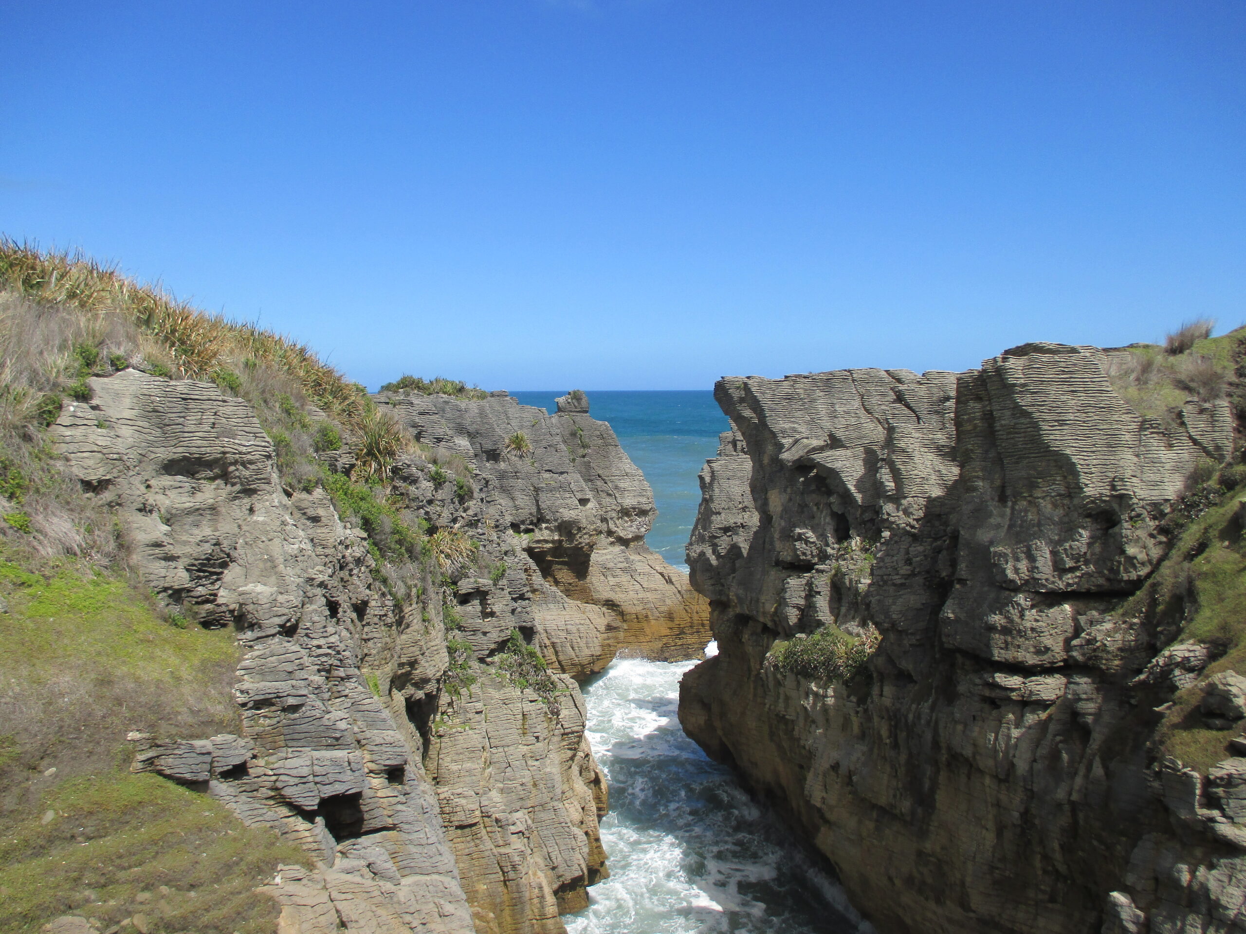
The clouds cleared as I went further north, leaving the peaks behind. The coastal route took me through Paparoa National Park, and there are plenty of scenic lookouts here, with curious rock formations by the sea’s edge – including Pancake Rocks, as well as blowholes, craggy cliffs, and rugged beaches.
Pancake Rocks
The West Coast
The clouds cleared further north
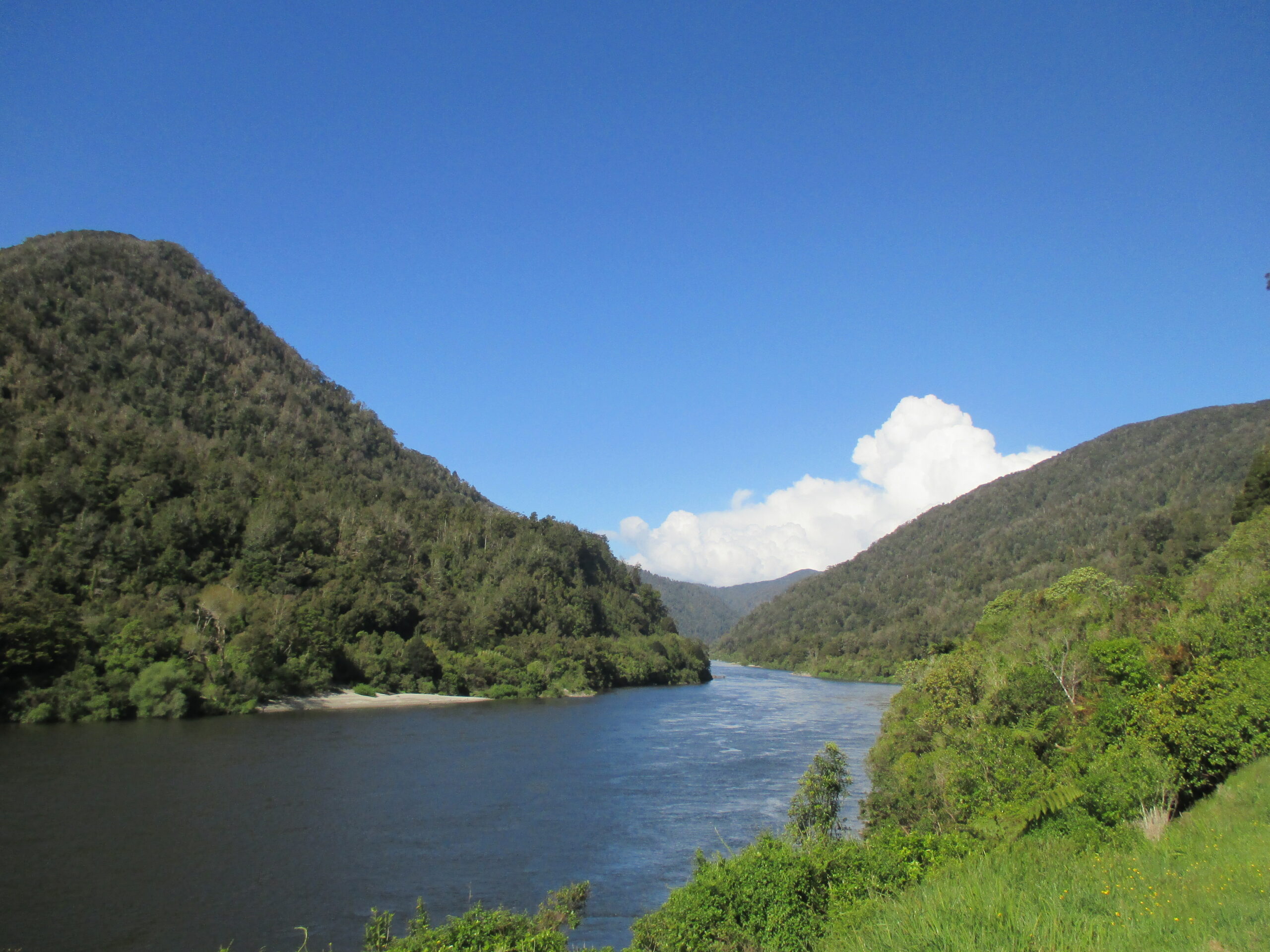
There are two turnoffs back to the centre of the island. The first, south of Greymouth, is across Arthur’s Pass. The second is from Greymouth, across Victoria Forest Park, to Canterbury, eventually reaching the resort town of Hanmer Springs.
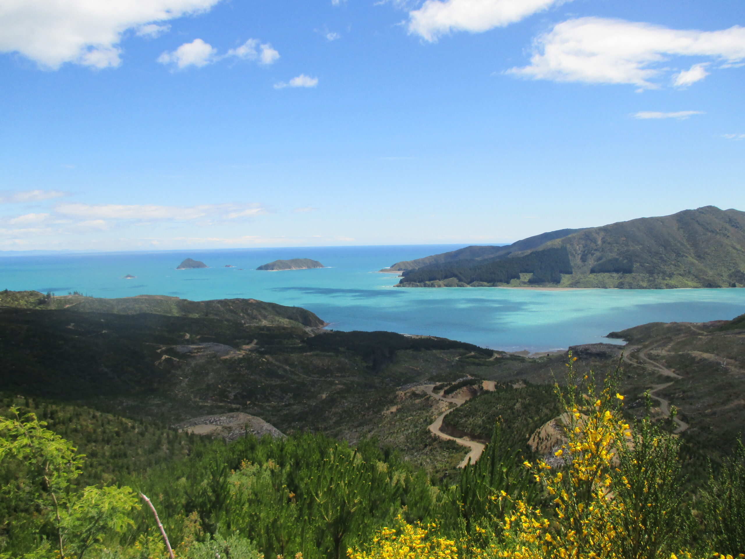
The route north, the path I took, passed Kahurangi National Park – which is largely inaccessible by car, as well as Golden Bay – a massive, curved bay that ends with the thin stop of land at Farewell Spit, and Abel Tasman National Park – another nature park that can be enjoyed in a variety of modes of transport, including on foot, by kayak, or by canoe.
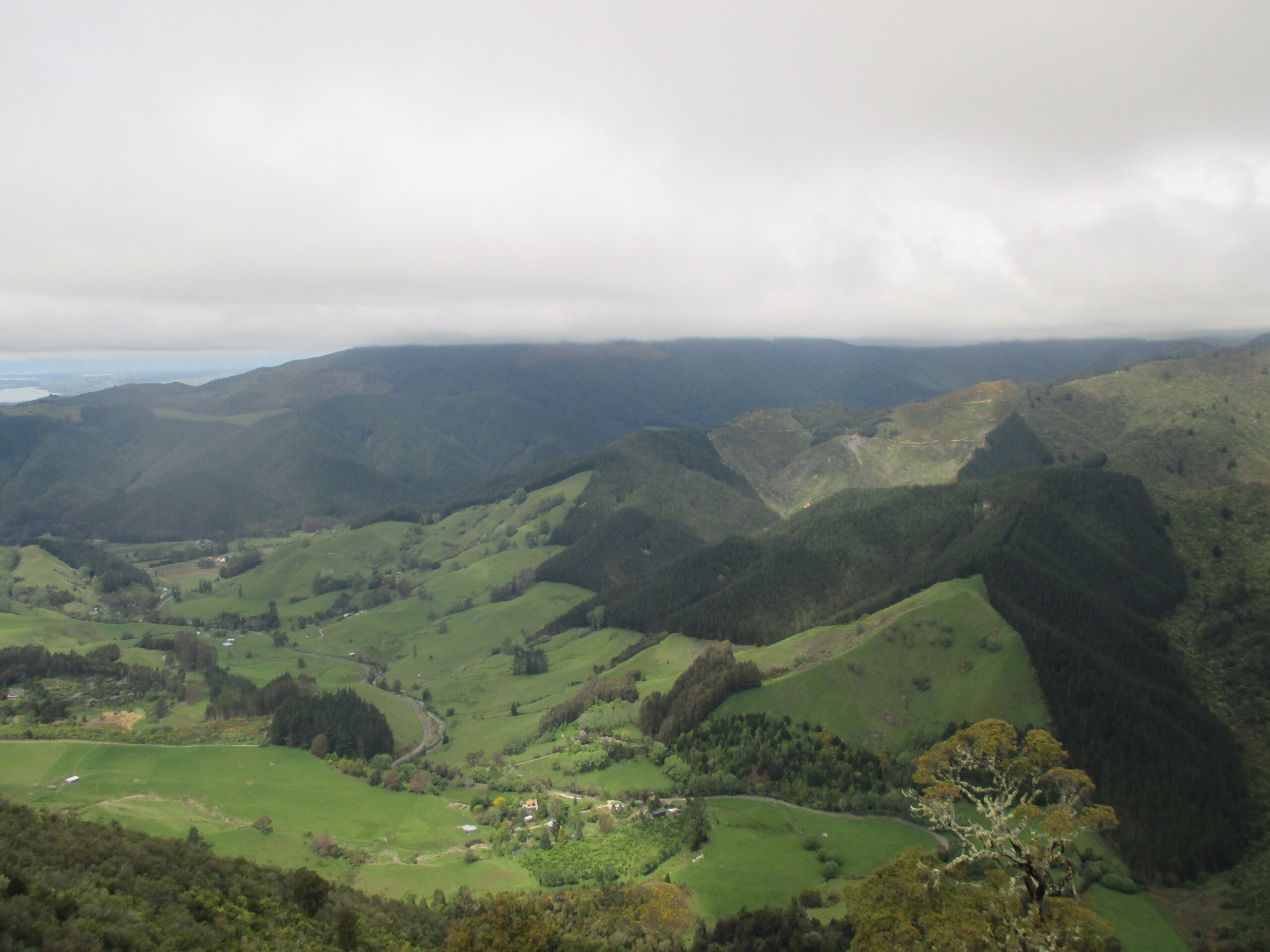
On any road trip, there are limits on what you can see and do, even when you have three weeks. This was a point when a difficult decision was made not to explore this area further. I had to settle for a quick glimpse of Golden Bay and Abel Tasman from Takaka Hill, which provides a wide-ranging panoramic view, before continuing on.
Driving north
As the road climbs higher
The night was spent near the city of Nelson, which happened to be – as is often the case near cities – the most difficult to find a place to sleep. Unfortunately, due to busier roads, as well as the presence of homes and businesses, there are less appropriate spots to park the car for the night that are not going to either block someone in or be disturbed myself during the night. I think it took over an hour to find somewhere, near Rabbit Island/ Maturoa, far longer than most nights.
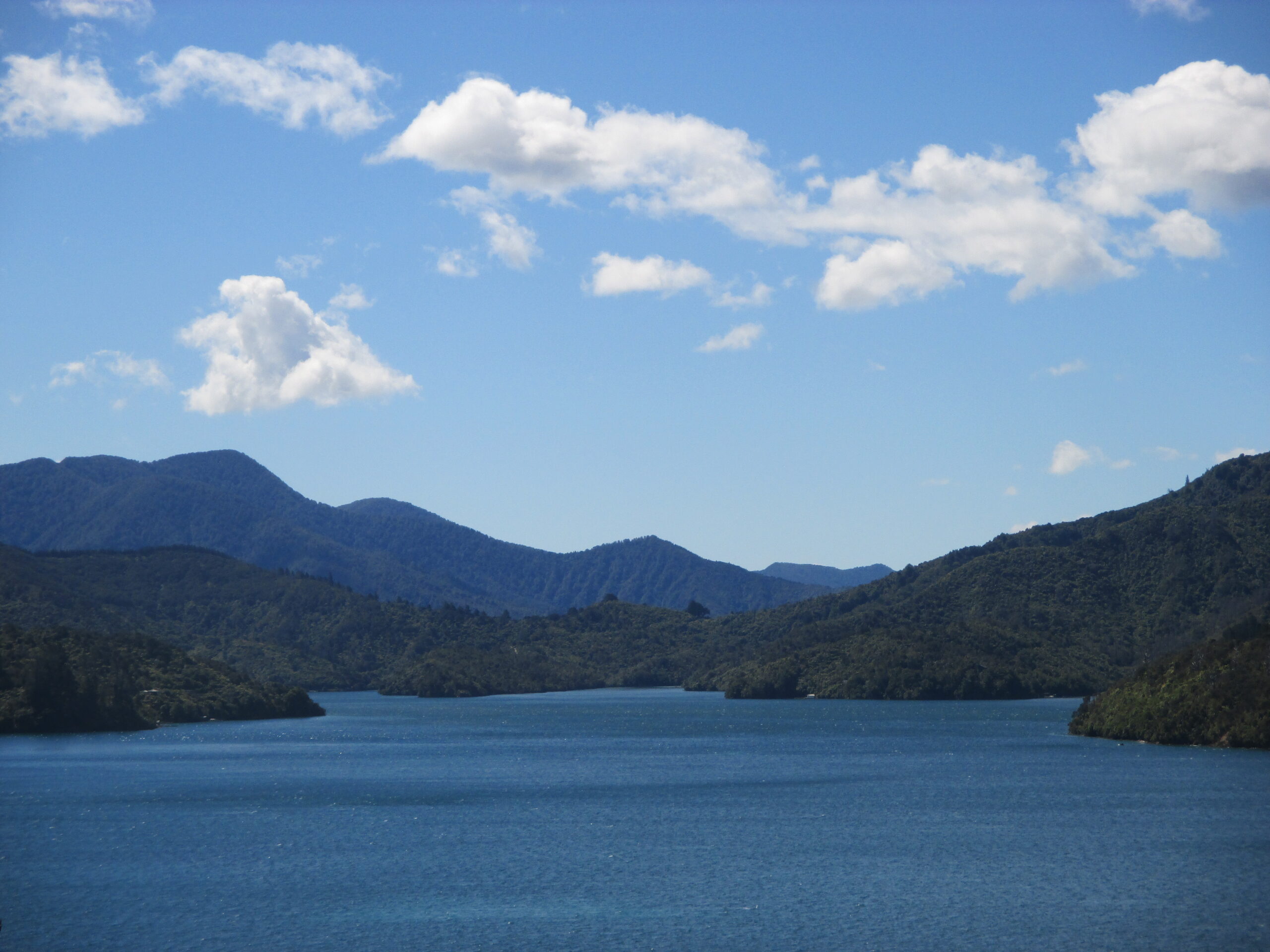
The next day, after exploring Maturoa for a couple of hours when the rain subsided, the next destination was a two-hour drive northeast of Nelson. Veering off the highway, the road became narrower, as I made my way to Marlborough Sounds – the final discovery on this tour.
Marlborough Sounds
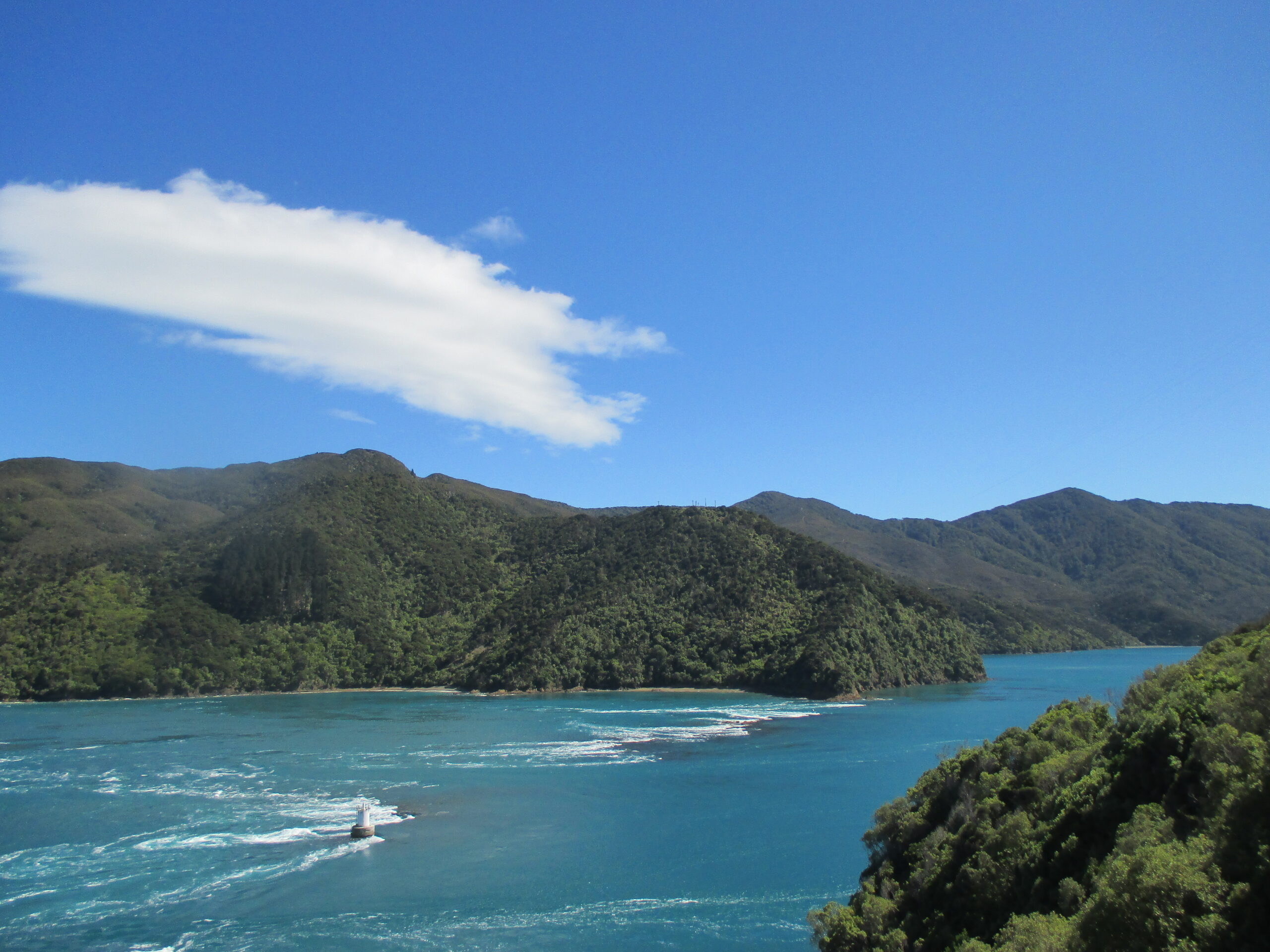
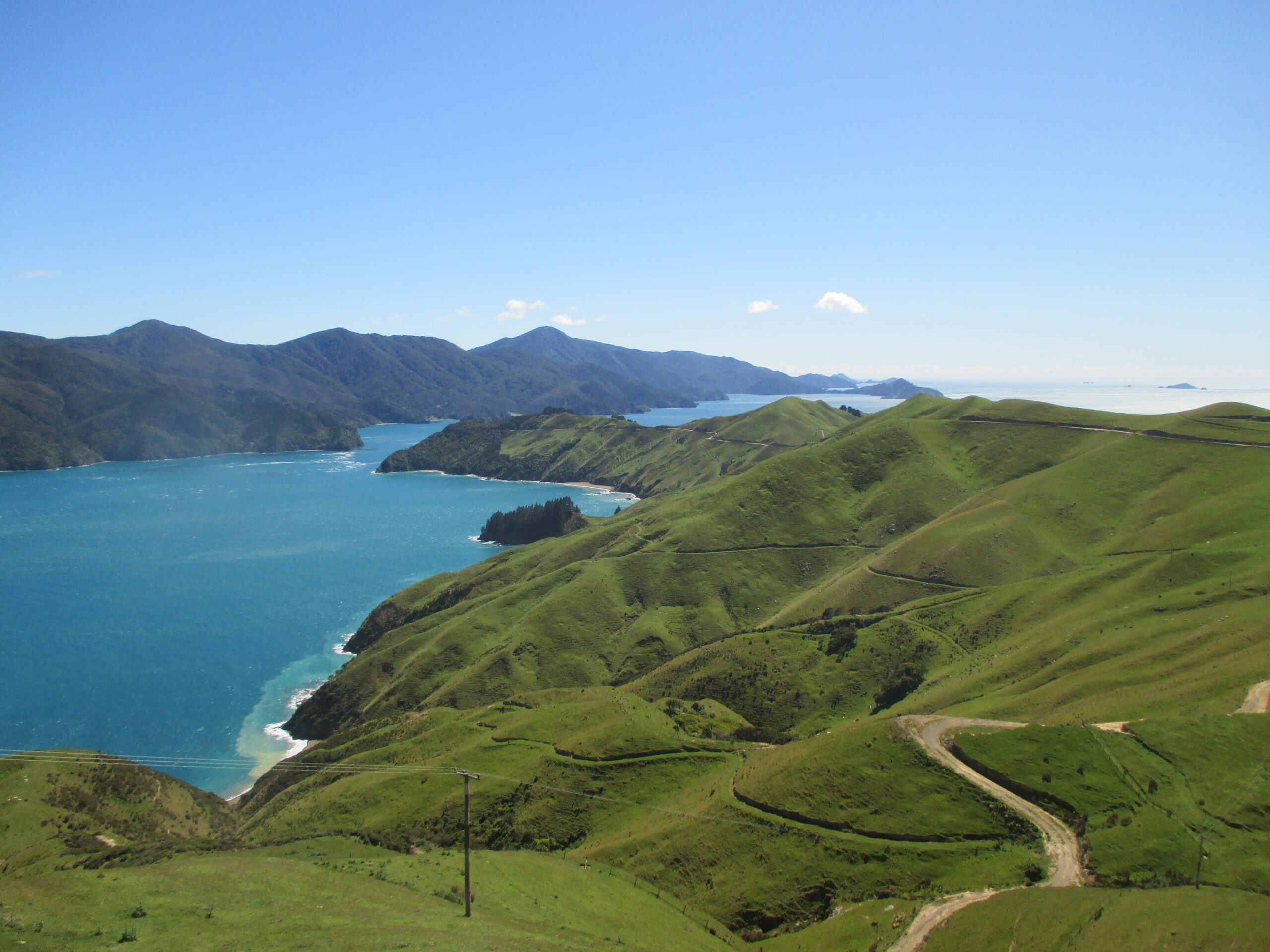
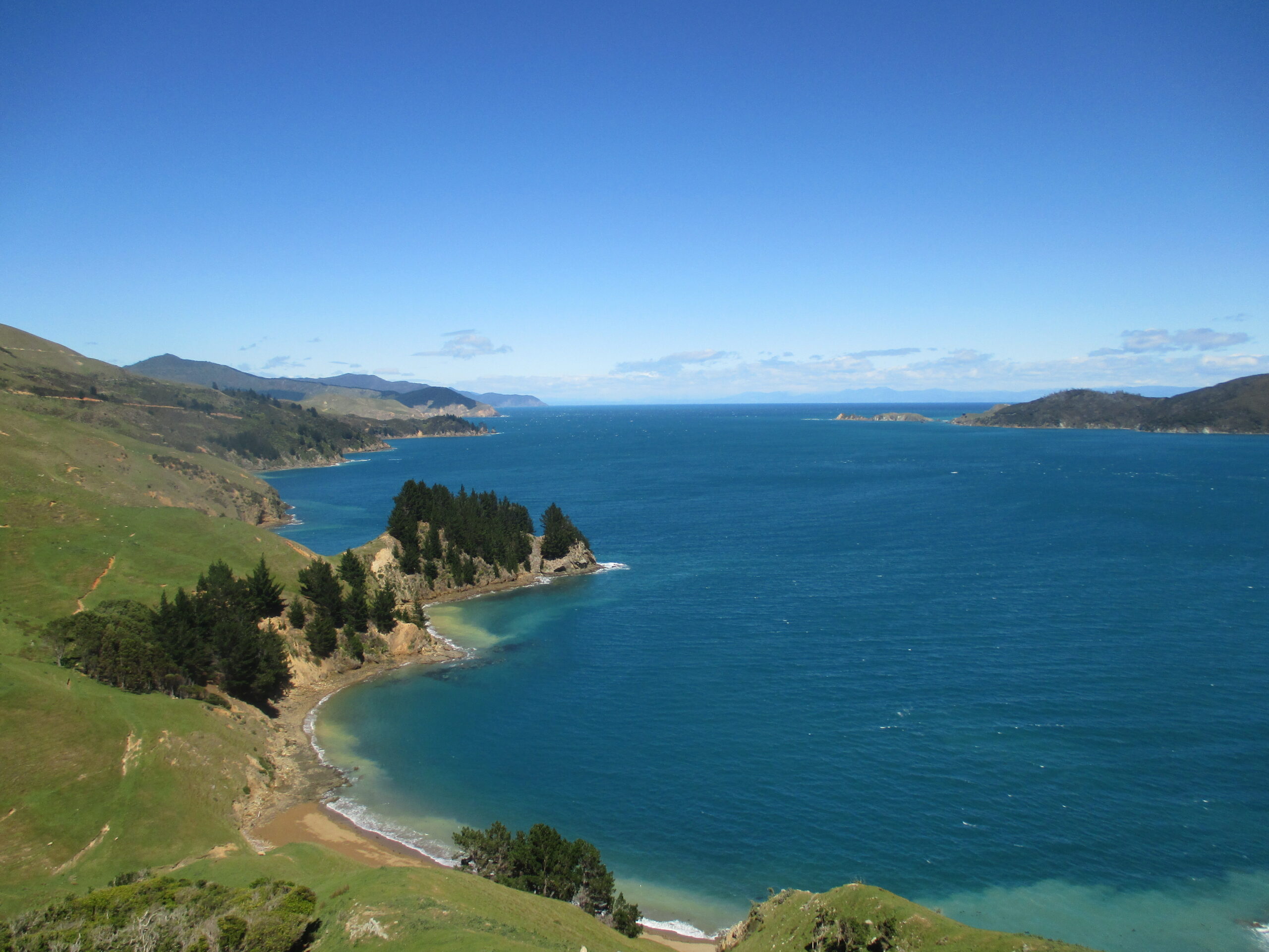
Marlborough Sounds is an area of flooded valleys that has created a vast network of bays, inlets, and coves to explore – by land or by water – amongst rolling hills. A well-known lookout here is at French Pass, reached by driving over the green hills that rise above the sparkling blue water. There is only a small gap of water that divides the mainland from D’Urville Island/ Rugitoto ki te Tango.
At French Pass the tide is notoriously strong. I could see from the shore that the force of the water was very strong. Sadly, it has proved treacherous for swimmers, and remains a sombre reminder of the dangers in nature. Some caution is recommended when doing any pursuits, particularly in unknown areas. Speaking to locals or researching the destination for safety tips is a way of minimising risk. Here, despite the temptation to swim, I contented myself with views from the land.
French Pass
The rolling hills
Driving past the bays
Marlborough is one of many locations on the South Island I could have spent days or weeks exploring and fully immersing into it. Approaching the end of the designated three weeks meant a day would have to suffice for me on this trip. While I would have liked to have stayed longer, I have no regrets – for my itinerary had allowed me to travel extensively in a relatively short period of time.
The final goal on this trip was to sell my car, before heading back north to Mount Maunganui, and sadly leaving New Zealand behind. I decided Christchurch would be the best place to sell the car, as it is the most populated city on the island. Conveniently, that meant I could have one last stop at Kaikoura – and it led to the most exceptional wildlife encounter of my life.