Circular route – distance: 11 miles (17km). Total elevation gain: 800 metres. To be cautious of: extreme heat in summer
Away from the beaches
The Sierra Nevada mountains of Andalusia, in Southern Spain, is home to the tallest mountain on the Spanish mainland – Mulhacen, at 3,479 metres. It is testament to the size and grandeur of the range, in a country that is otherwise better known with for its islands and beaches (at least with UK tourists).
I visited in the middle of Spring, when the daytime temperatures were around 20 degrees Celsius, but the peaks were still blanketed in snow. So, I picked a route that would give me a view of the mountains, without having to hike up into the snow.
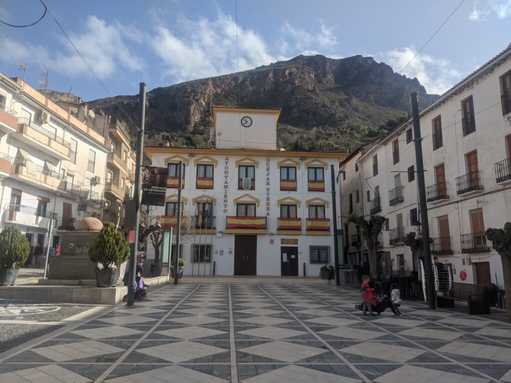
Guejar Sierra
A daring drive
I was staying with my family in Guejar Sierra, a small village halfway between the city of Granada and the Sierra Nevada. The drive to the trailhead was along narrow, winding roads, next to a precipice of the valley below – driving along there gave me a slight adrenaline rush before the walk had even started.
The slopes en route provided intermittent cover during the start of the hike, but a lack of trees meant I was in direct sight of the sun for most of the way. By mid-morning the sun was already blazing, making the hike a gruelling one. I had packed around three litres of water to get me through.
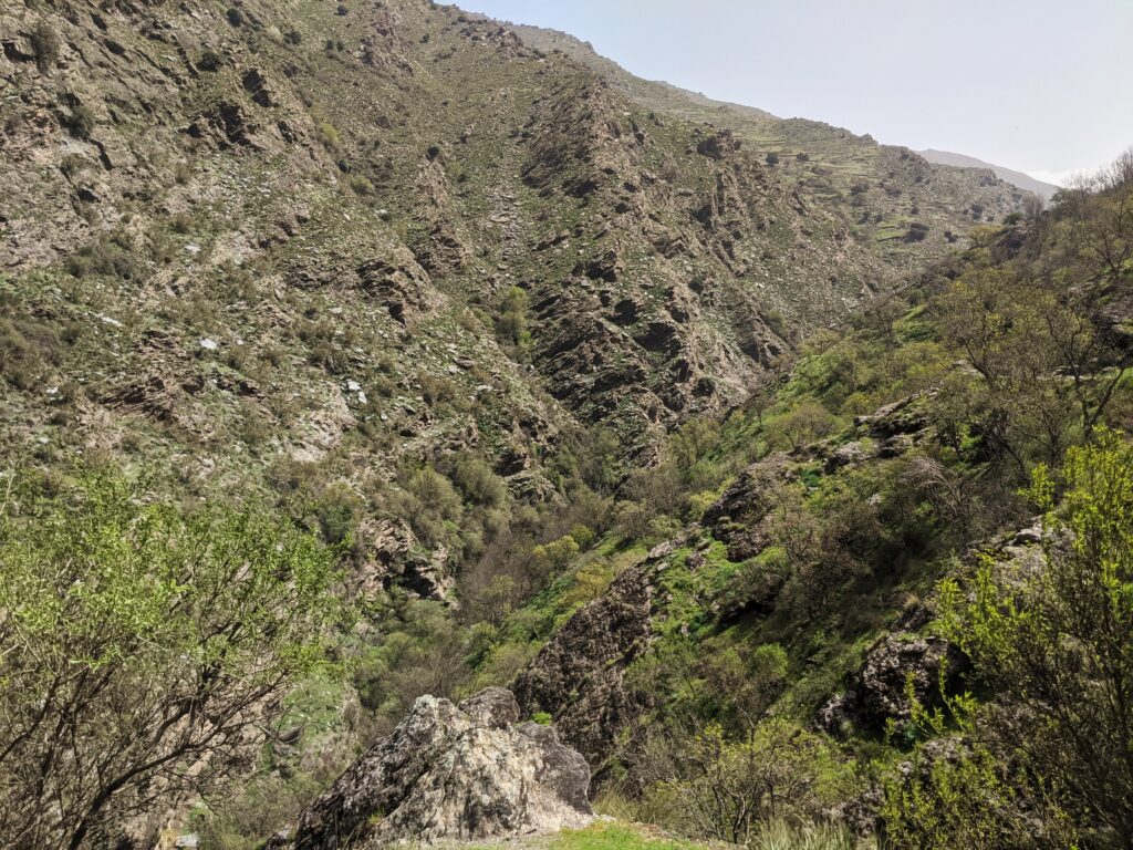
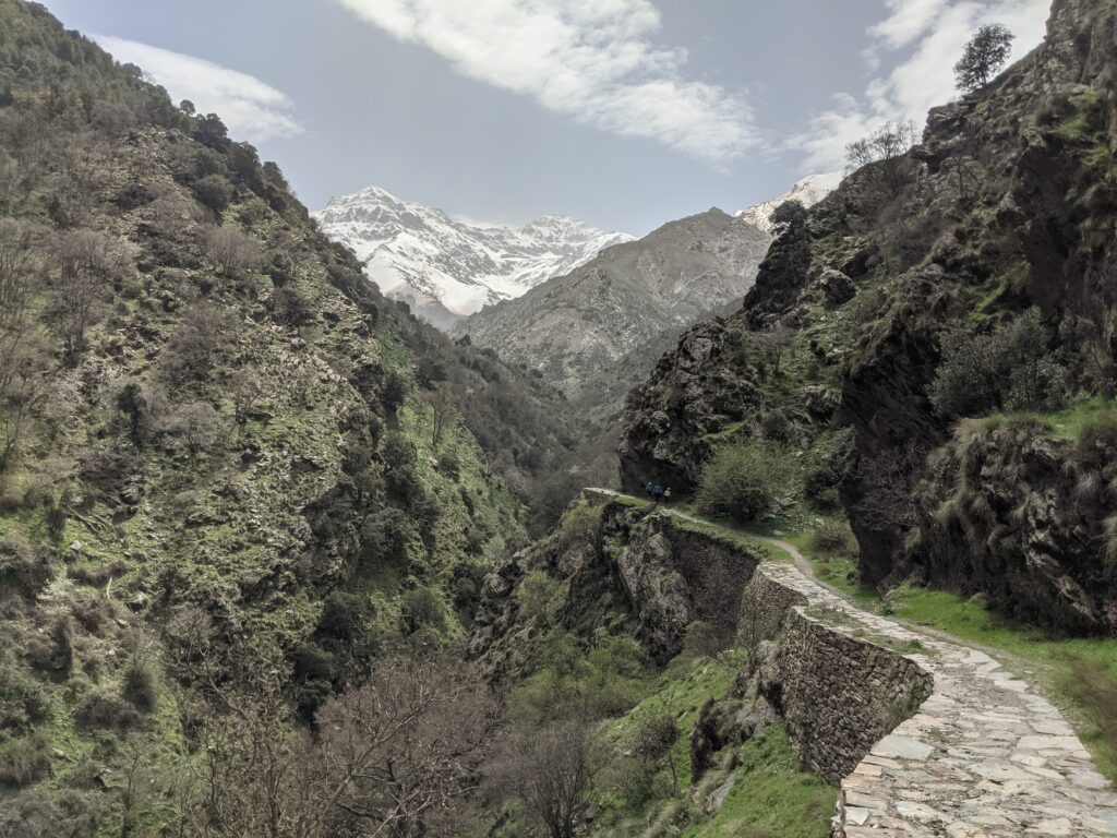
The steep valley
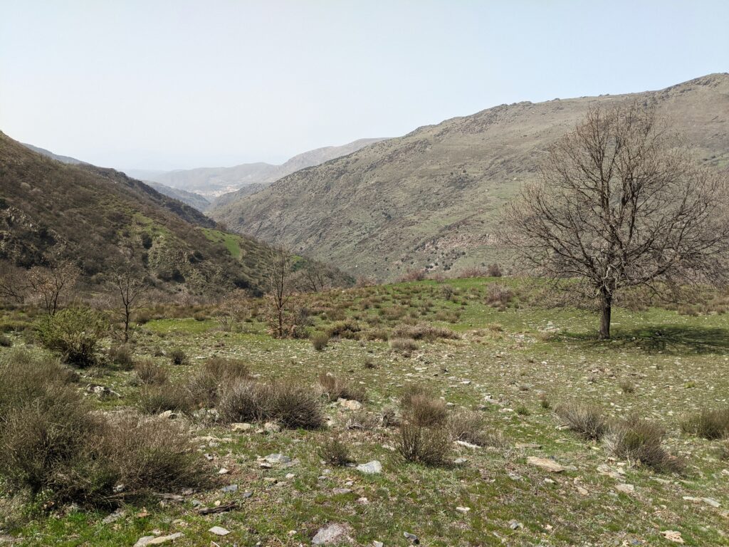
Setting off
The views were great from the outset, the trail running above a valley as it hugged the slope of the hillside. I followed an easterly direction for around 3 miles (5km), varying between inclines and declines, with slightly more of the former. As the path elevated, and turned south, the larger, snow-capped mountains came into closer, unobstructed view.
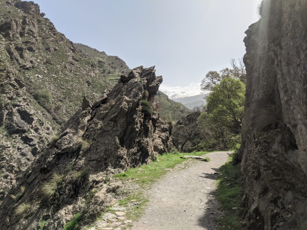
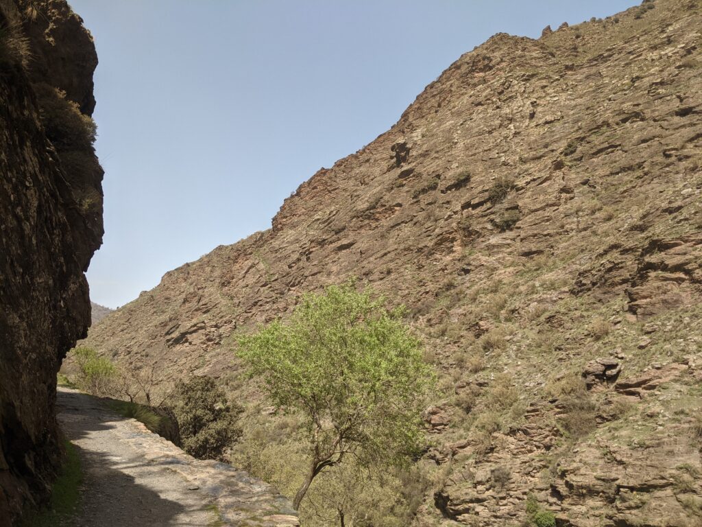
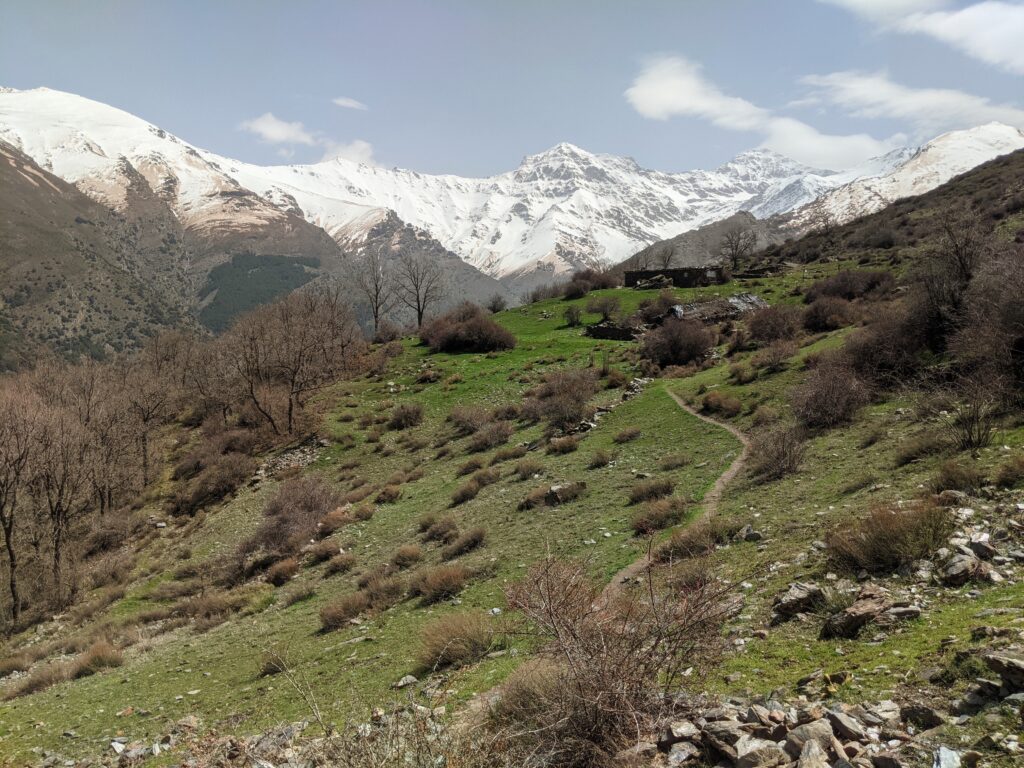
The first half of the trail was on mostly dry, dusty, and stony ground – unsurprisingly given the climate. There then came sections of very steep inclines, made even more challenging by the midday heat. At around the six-mile mark, after a particularly harsh climb, the view of the day emerged.
On the trail
The dry terrain
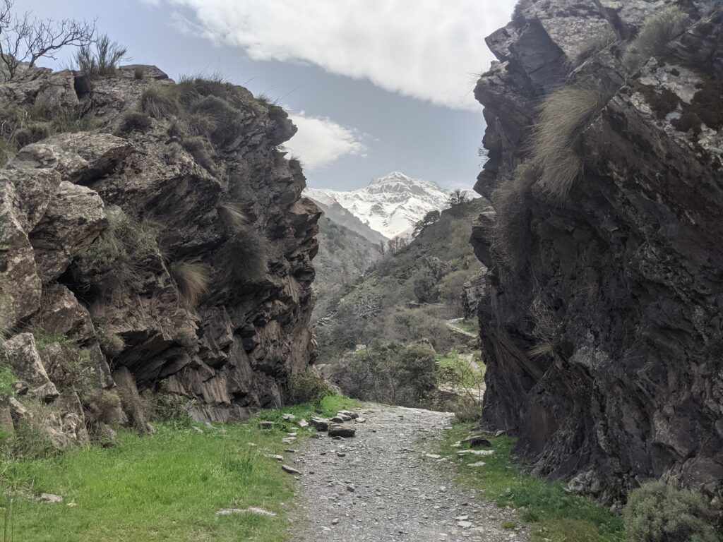
Rocky pass
Approaching the mountains
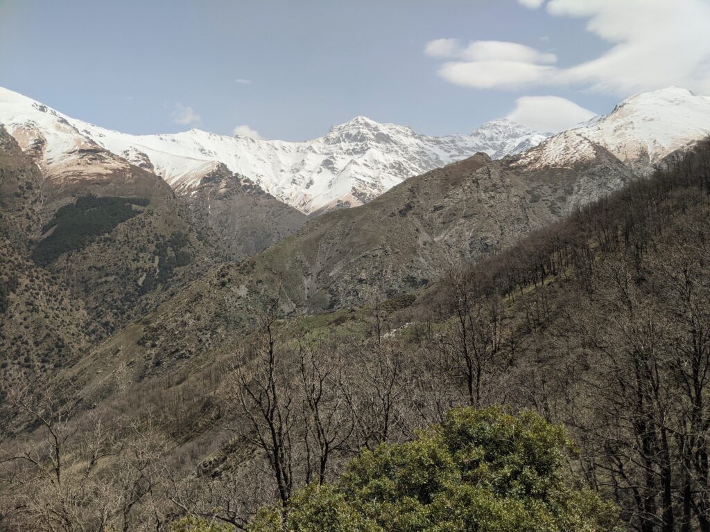
View of the day
I was on a grassy plateau, high above the trail I had walked on, overlooking a large valley in front of exposed mountains – creating a panoramic vista. At around 1,800 metres above sea level, under mountains well over 3,000 metres, the peaks looked the most remarkable as at any point on my hike.
It was a perfect place to stop for lunch and rest after significant exertion. I can’t deny the hike had been tough, and I knew I still had at least four miles to go. A combination of the distance, inclines, and the heat made it a draining experience, if satisfying. I can’t imagine coming here in the height of summer, though.
Sierra Nevada
Return journey
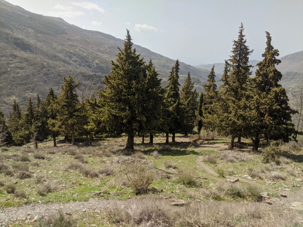
The trail looped back in a reverse direction towards the start. At a higher altitude, the terrain was greener with plenty of foliage. And additional motivation was provided by the continual views of the mountains over the next couple of miles, as I descended gradually. The final mile or so was down a steep path, made trickier by the fact I lost the trail – I had to forge a new route downhill via a spiky bush.
By the time I got back to the car, I was officially drenched in sweat. I had consumed most of the three litres of water to stay hydrated throughout.
This hiking route revealed an unexpectedly magnificent side of Spain – a huge mountain range and challenging terrain. So much for lazing on the beach, this is a great way to explore and appreciate Spain’s spectacular natural scenery.