The view atop Snowdon (Yr Wyddfa) has often been voted as one of the best in the UK. I couldn’t testify to that, as I could barely see a thing when I made it to the top. As I drove through Snowdonia National Park (Eryri), however, the sights were spectacular – I imagine its status is warranted. I will have to return another day and hope for clearer skies.
I enjoyed the hike, nevertheless. There were good views at lower elevations, I had a good test of my fitness, and I successfully climbed the highest peak in Wales. It’s just a shame that the clouds came over from early morning, meaning I was in fog for much of it.
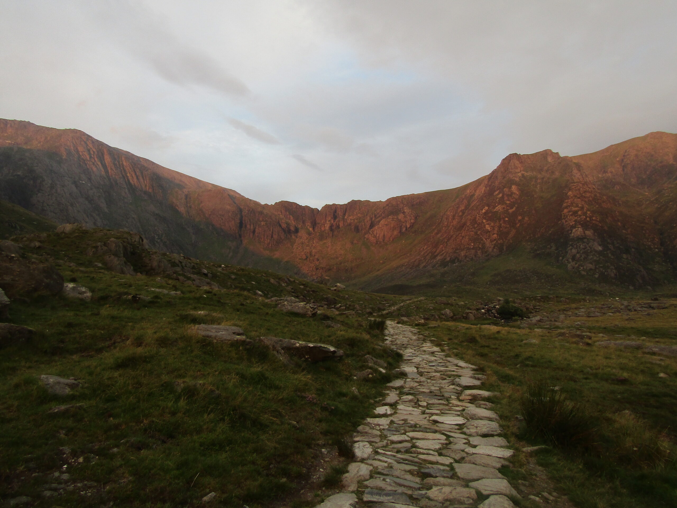
Visibility on Snowdon was good at sunrise
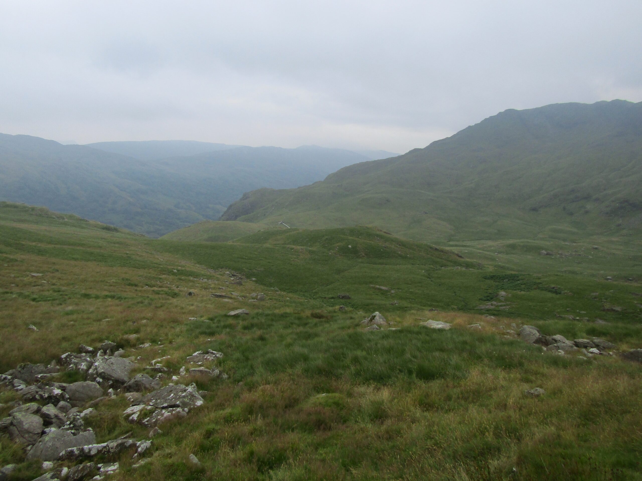
A nearby trail
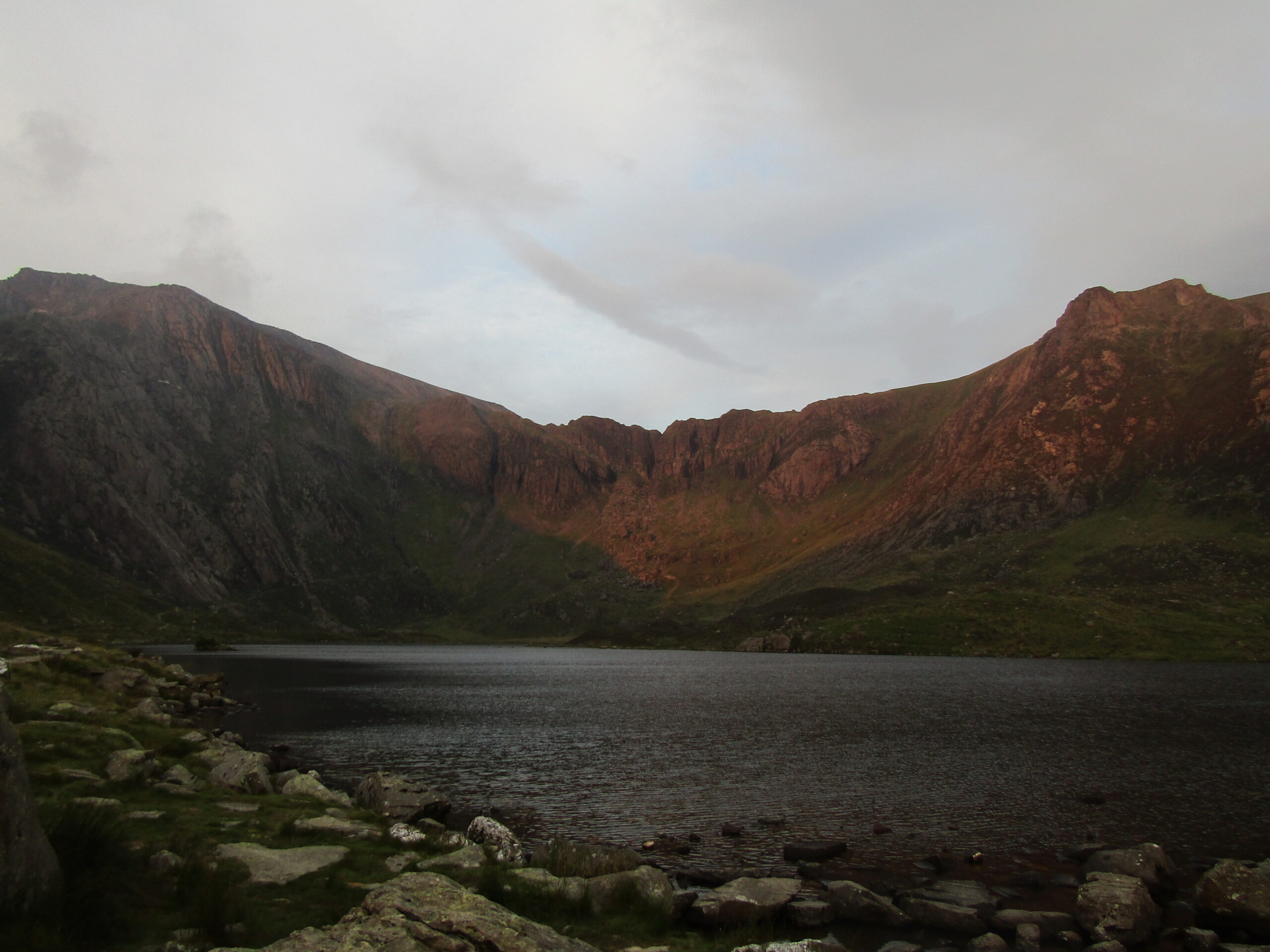
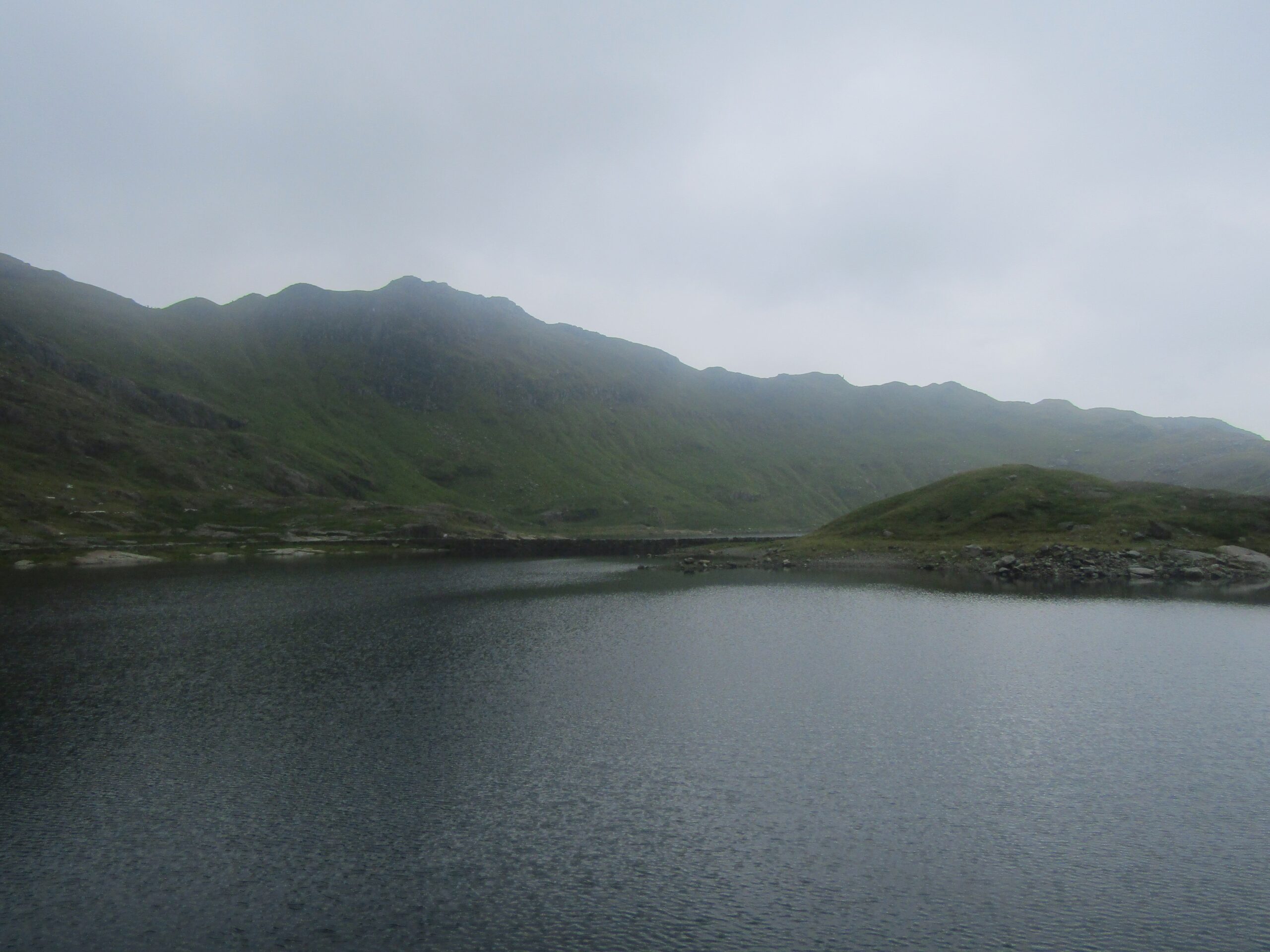
One of Snowdonia's lakes
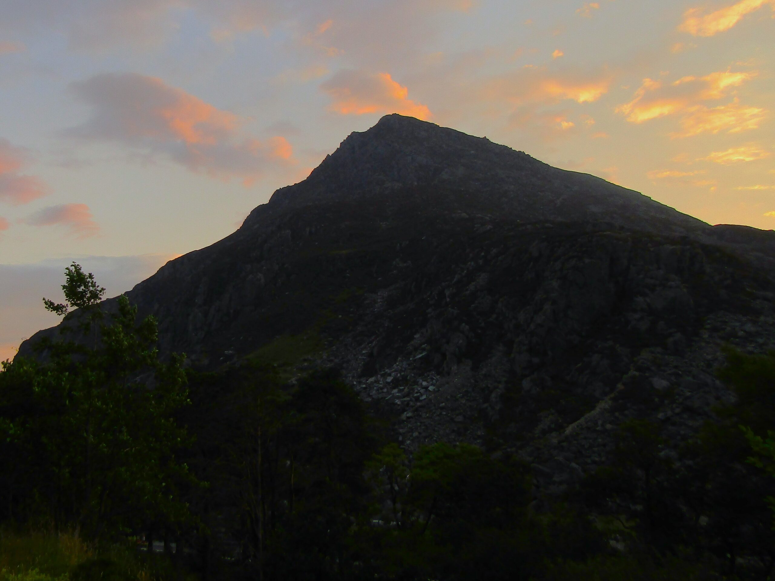
The night before
As I slept in my car nearby, I could hear thunder through the night. And in the early hours, I saw lightning along with heavy rain. It had subsided by 7am, and the skies above Snowdon cleared, so I felt confident to attempt the climb – but I remained aware that I might need to turn back, if conditions deteriorated.
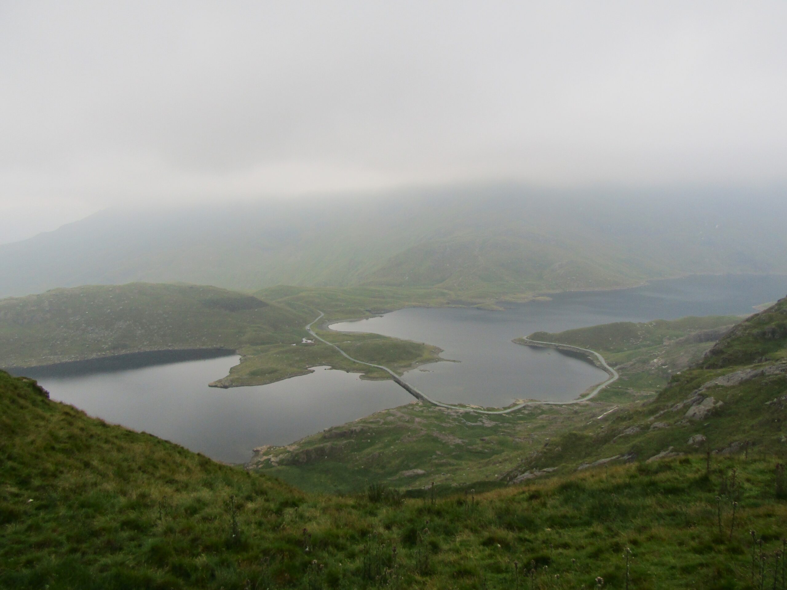
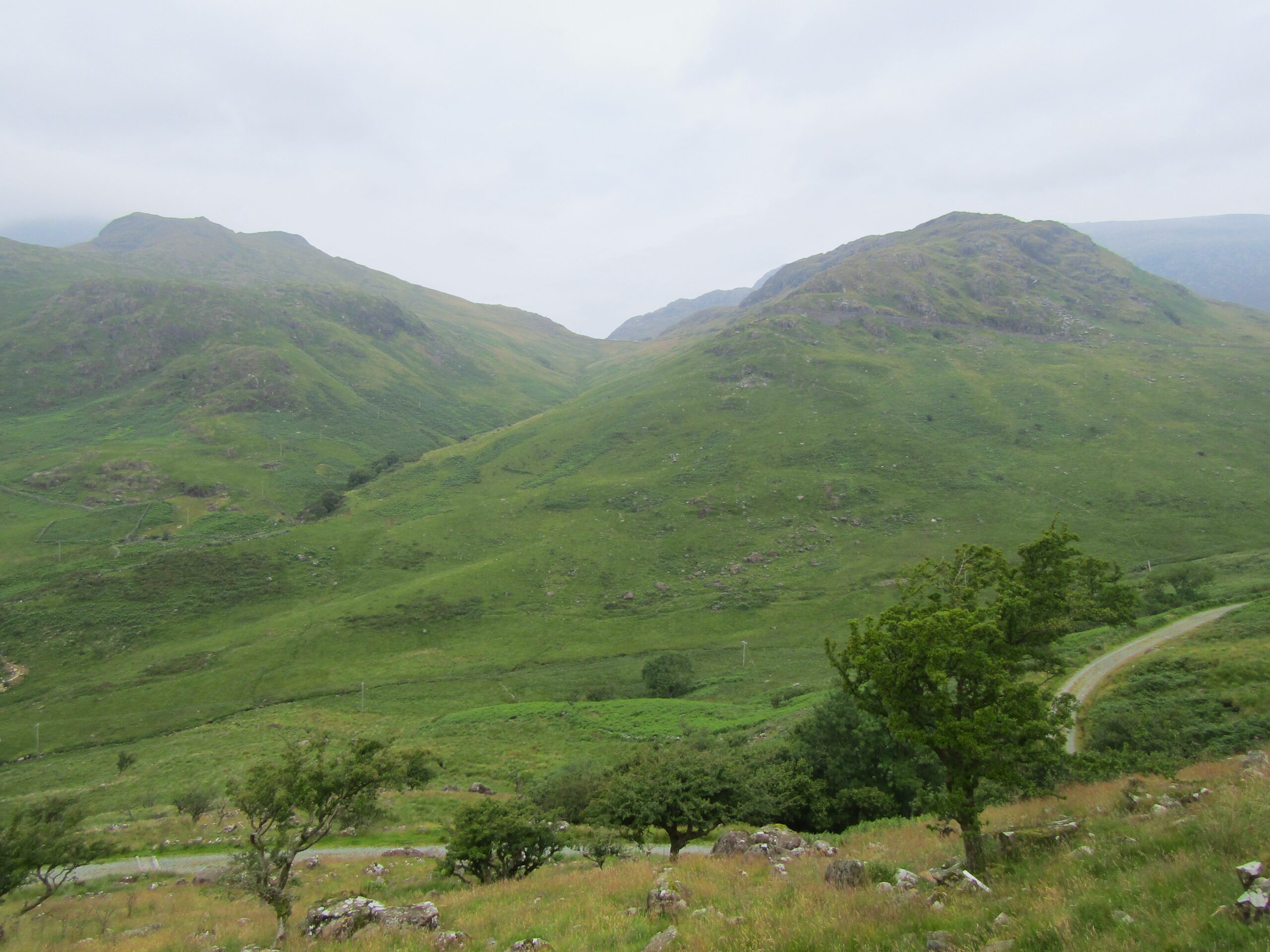
There are several paths up to Snowdon, including for those on multi-day hikes. The route I took started at the hostel in Pen-y-Pass which sits on the roadside. At the start of the hike, there was a great panoramic scene across a valley to the north, so I held hope for the view at the top. But after half an hour of walking, the clouds returned.
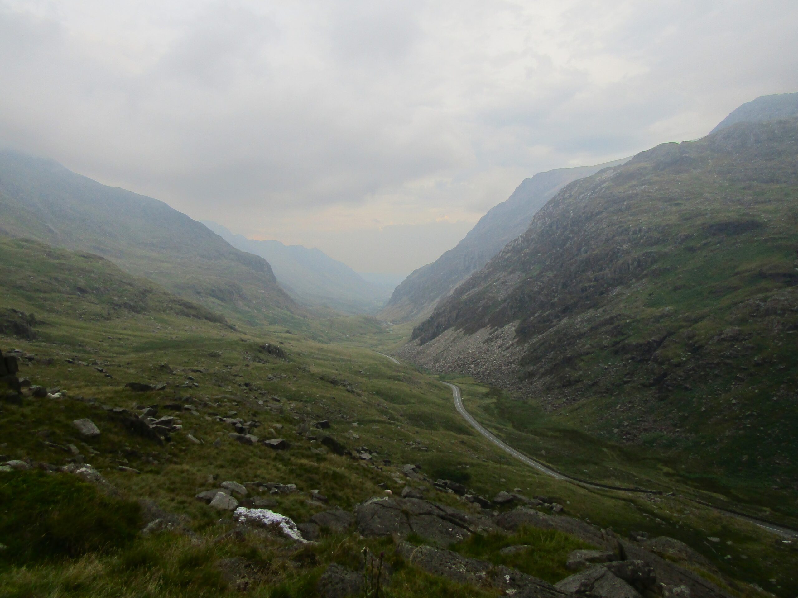
The road cuts through the valley
The ascent
From here on out, it was me against the mountain and the fog. It was a vigorous ascent, too. I had climbed Helvellyn in the Lake District two days before, which helped prepare me for it. Also, the poor visibility meant less stops for photos than I normally would have – I made good progress in the hope of making it back before the rain.
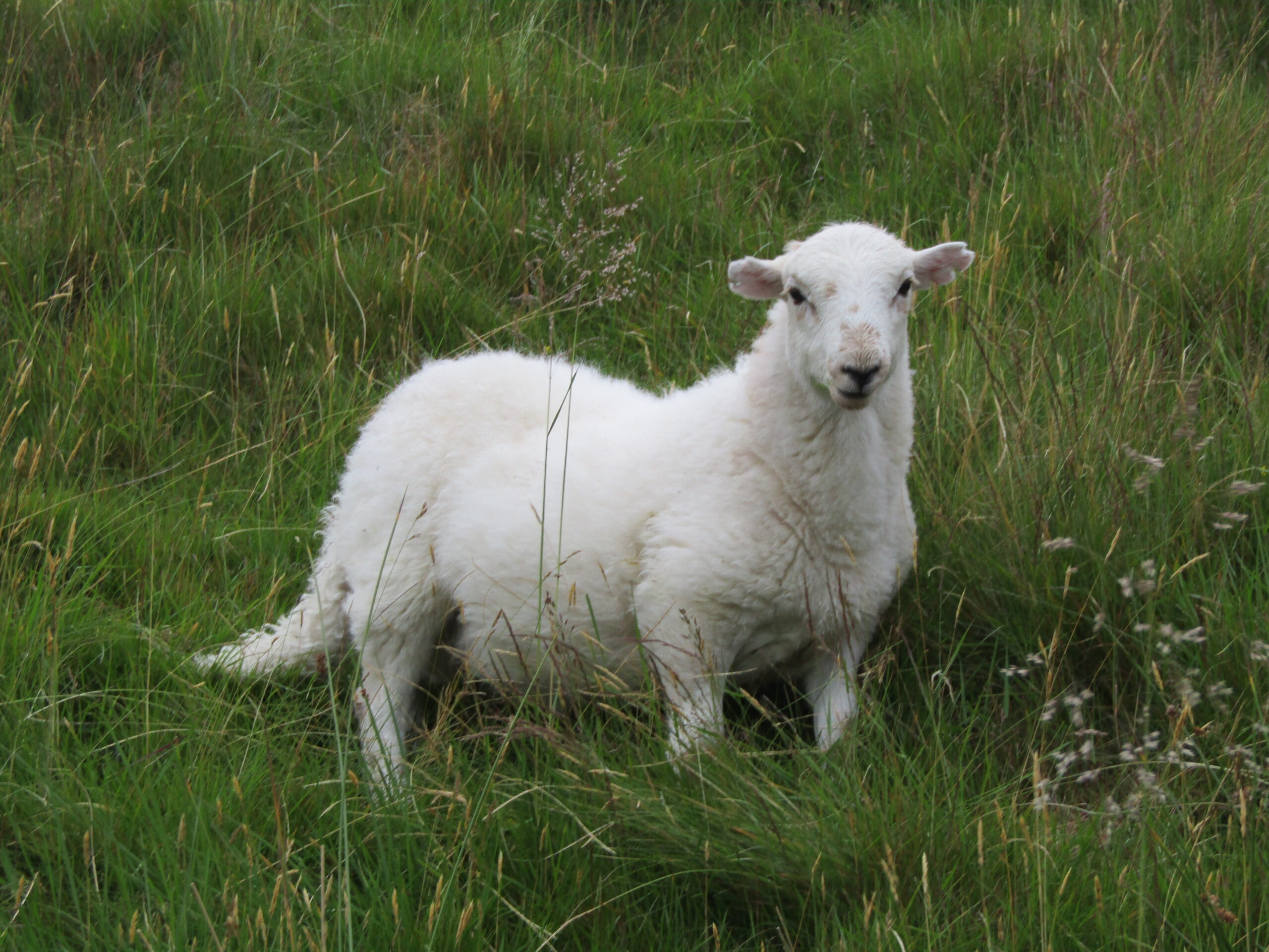
It was particularly demanding on the thighs, as I marched up and up. Around halfway, the trail became narrower, as it circled the slopes – which seemed almost vertical at times. High on the mountainside, I witnessed a farmer with his sheep dog herding livestock. Not only were they working in the fog, but they did so on treacherous terrain. Suddenly, my own task seemed much simpler.
A lamb on the mountainside
Decreasing visibility
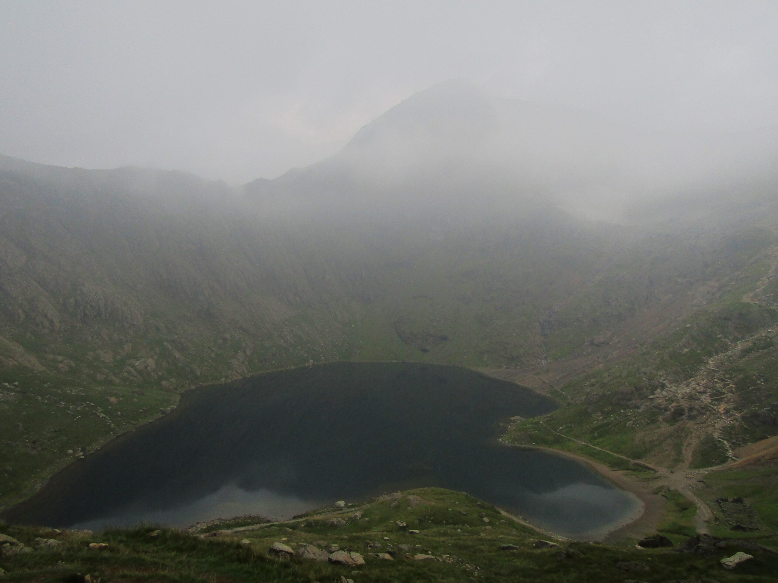
I passed above the lake which usually features in the photos of those hikers lucky enough to witness one of the best views in the UK. I then approached a rocky ledge, dotted with boulders and large rocks, that interrupted the trail. The path circled round, and through a break in the fog, I believed I could make out the summit not far ahead.
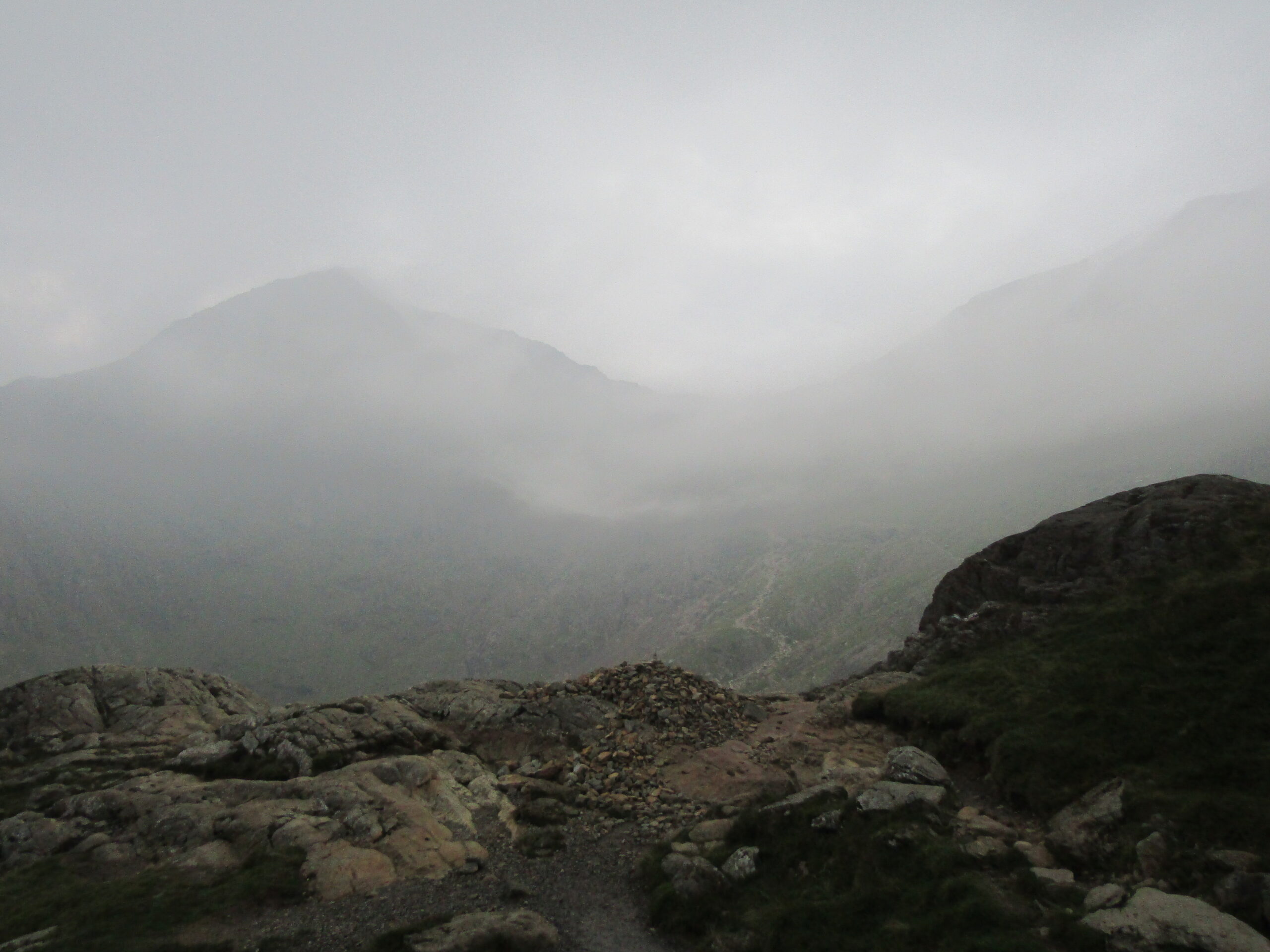
As I continued, visibility deteriorated further, to the point I could only see ten metres or so. You might wonder, as I did, whether it’s worth continuing at this point. The choice was to turn around – saving myself an hour or so reaching the peak. Or, while accepting I wasn’t going to get the fantastic view, enjoy the challenge and reach the top regardless. I chose the latter.
The lake below the peak
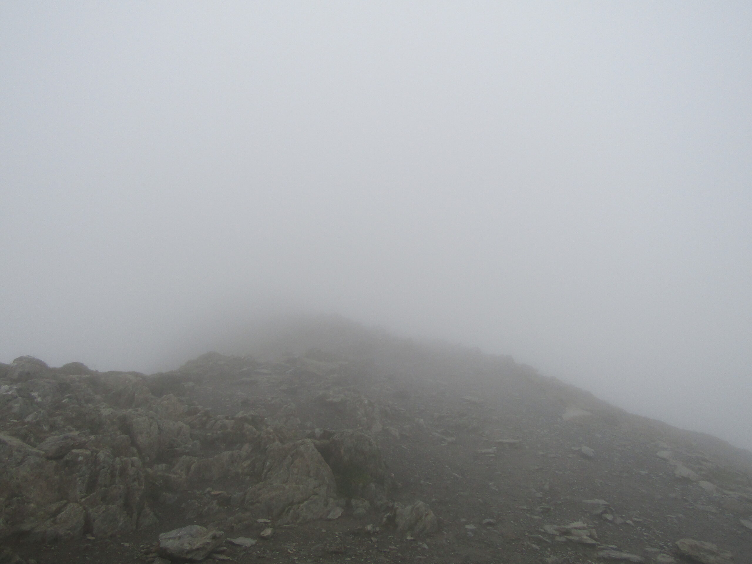
A barely visible summit
Low-lying fog
The summit
The trail remained fairly easy to follow, with a mixture of steep and gradual inclines to the top. Just as I felt the conditions were slowing me down, and worried about getting lost, I caught sight of the railway line that serves the cafe at the top. I had made it.
By the time I reached the summit monument, I could barely see five metres ahead. With no view to enjoy, there wasn’t much to hang around for in the cold, damp fog. I quickly turned back.
On the way down, a short way from the summit, I turned off the trail I had come up – taking a stone stairway that leads to the lake below.
The summit monument
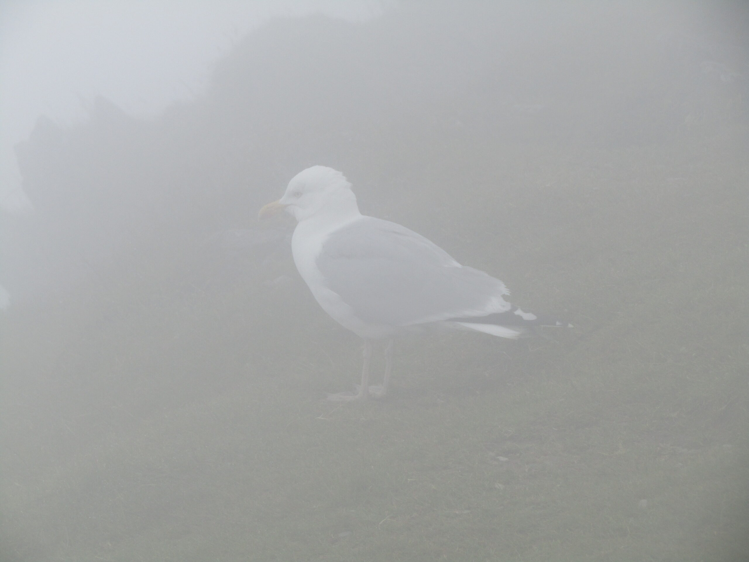
Poor visibility
My only companion
Heading down
The steep stone stairs were very tall, and impressively built into the landscape. I could take comfort in not having had to climb up them – descending the steps was tricky enough. I find steps on hikes more laboursome, as usually involve an almost unnatural gradient. Although they may save time by avoiding longer routes, I prefer pathways with subtler inclines.
Once down the steps, the path levelled out, and I walked at a good pace again under the shrouded peak. The return from there was relatively easy. I made it to a larger lake and the trail hugged the edge of it. Under the fog, there hadn’t much to celebrate in terms of views – I appreciated walking around the lake, with the mountains behind.
The lakeside
The end
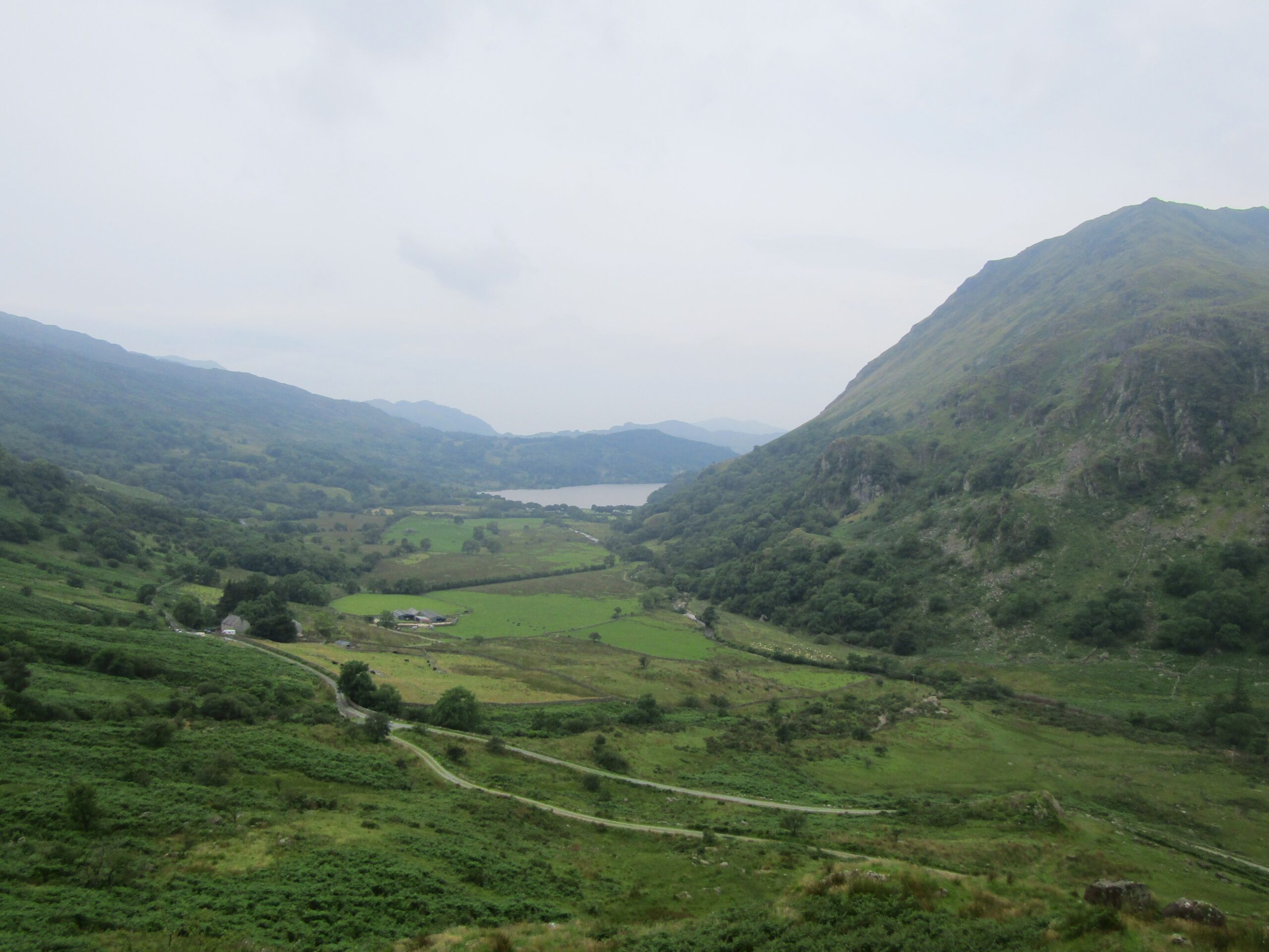
As I returned to lower ground, the fog decreased, allowing me a sight across the rest of the national park. The scenery was spectacular, bursting with peaks and valleys, displaying the region’s enormity.
The rain started when I had around a mile to go. I saw a few groups heading past me, up to the summit. Either brave, or more accurately, unwise – in my opinion – given thunder was forecast for the afternoon. Still, I managed it back to Pen-y-Pass safely.
I completed a distance just short of eight miles in under four hours total walking time, with substantial elevation gains, too. Although I didn’t get the view I came to see, I had fun on the walk. I explored new surroundings, tested myself in tough terrain, and left with that sense of achievement I get from a decent hike.